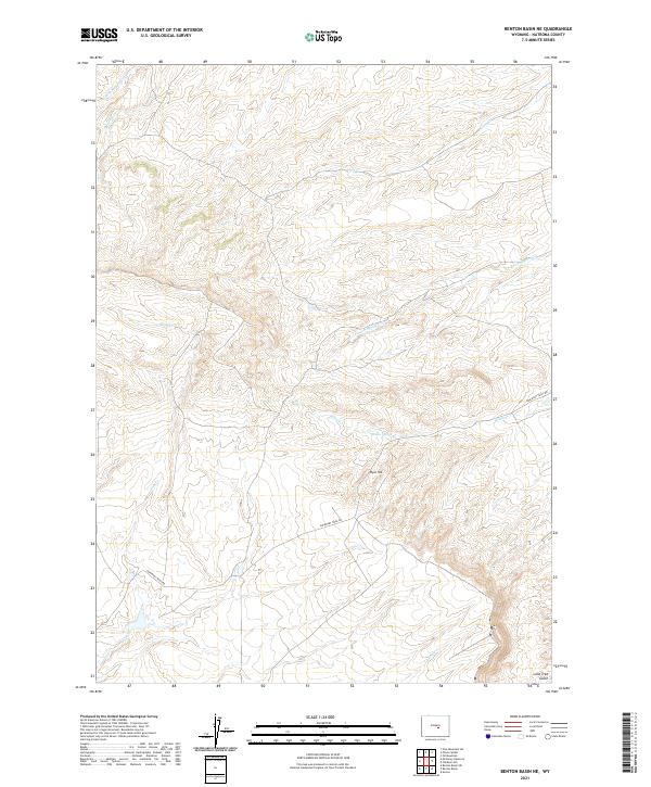
2021 Map of Benton Basin NE
USGS Topo · Published 2021About this map
Emigrant Trail Rd cuts through this high-elevation terrain in Natrona County, tracing a historic path of western migration. The landscape is defined by its complex drainage network, where Poison Spring Cr and Iron Cr carve through the high ground. To the south, Ryan Hill rises as a prominent landmark above Willow Spring, a vital water source in this arid environment. The map details the intricate relationship between topography and travel, showing how early routes followed the natural contours of the land. Further south, Lone Tree Gulch and Eagle Cr mark the descent toward the Benton Basin. This 2021 survey provides a clear view of the area's geological and hydrological features, essential for understanding the historical movement of people across the Wyoming territory.
Find a feature on this map
16 named features on this map. Tap any name to fly to it.
Don’t see what you’re looking for? This feature index may not catch every label — zoom into the map to look around manually.
Map Details
Editions of this 2021 Benton Basin NE Map
This is the sole edition of this map. No revisions or reprints were ever made.
Other maps of this area

1950 · Alcova
USGS Topo · 1:24,000

1951 · Pine Mountain SW
USGS Topo · 1:24,000

1951 · Oil Mountain
USGS Topo · 1:24,000

1951 · Clarkson Hill
USGS Topo · 1:24,000

1951 · Benton Basin SW
USGS Topo · 1:24,000

1951 · Benton Basin
USGS Topo · 1:24,000

1951 · Poison Spider
USGS Topo · 1:24,000

1951 · Benton Basin NE
USGS Topo · 1:24,000

1951 · Mc Cleary Reservoir
USGS Topo · 1:24,000

1955 · Casper
USGS Topo · 1:250,000