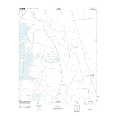
2012 Map of Benton
USGS Topo · Published 2012About this map
The Suwannee River carves a winding path through the heart of this North Florida landscape, defining the character of the Benton settlement and its surrounding woodlands. The map captures a transition in the local economy, where the historic footprint of naval stores and timber production is still evident in the network of legacy access routes. Names like 8 Mile Still Rd, Eightmile Still Rd, and Fivemile Still Rd reflect the location of former turpentine stills that once dotted the pine forests.
Find a feature on this map
39 named features on this map. Tap any name to fly to it.
Don’t see what you’re looking for? This feature index may not catch every label — zoom into the map to look around manually.
Map Details
Editions of this 2012 Benton Map
This is the sole edition of this map. No revisions or reprints were ever made.
Other maps of this area

1954 · Valdosta
USGS Topo · 1:250,000

1955 · Council
USGS Topo · 1:24,000

1955 · Cypress Creek
USGS Topo · 1:24,000

1955 · Fargo SW
USGS Topo · 1:24,000

1958 · Valdosta
USGS Topo · 1:250,000

1959 · Valdosta
USGS Topo · 1:250,000

1961 · Deep Creek
USGS Topo · 1:24,000

1961 · White Springs East
USGS Topo · 1:24,000

1961 · White Springs West
USGS Topo · 1:24,000

1962 · Genoa
USGS Topo · 1:24,000