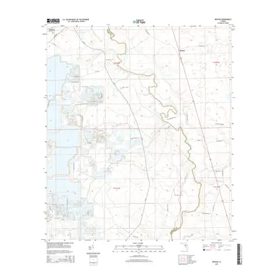
2015 Map of Benton
USGS Topo · Published 2015About this map
The Suwannee River carves a winding path along the border of Hamilton and Columbia Counties, defining the physical and historical character of this Florida landscape. In the northeastern quadrant, the small settlement of Benton sits at a crossroads, while Belmont is positioned in the northwestern corner near Hogans Br. This modern survey illustrates a territory defined by its complex hydrology, where Roaring Cr, Little Cr, and Deep Creek feed into the primary river system.
Find a feature on this map
44 named features on this map. Tap any name to fly to it.
Don’t see what you’re looking for? This feature index may not catch every label — zoom into the map to look around manually.
Map Details
Editions of this 2015 Benton Map
This is the sole edition of this map. No revisions or reprints were ever made.
Other maps of this area

1954 · Valdosta
USGS Topo · 1:250,000

1955 · Council
USGS Topo · 1:24,000

1955 · Cypress Creek
USGS Topo · 1:24,000

1955 · Fargo SW
USGS Topo · 1:24,000

1958 · Valdosta
USGS Topo · 1:250,000

1959 · Valdosta
USGS Topo · 1:250,000

1961 · Deep Creek
USGS Topo · 1:24,000

1961 · White Springs East
USGS Topo · 1:24,000

1961 · White Springs West
USGS Topo · 1:24,000

1962 · Genoa
USGS Topo · 1:24,000