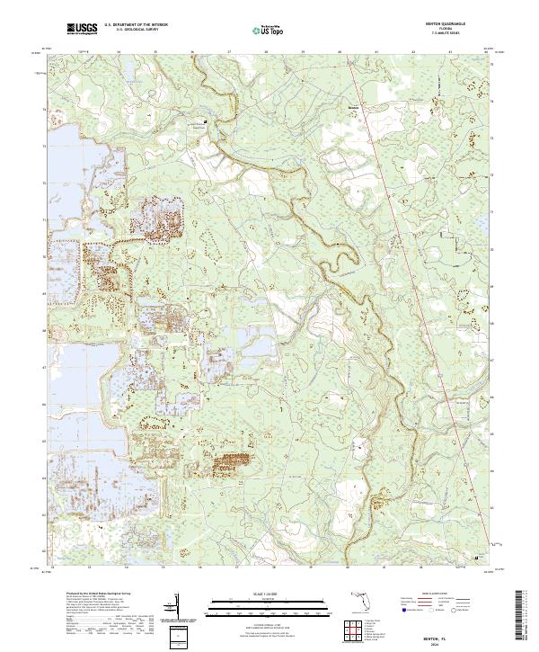
2024 Map of Benton
USGS Topo · Published 2024About this map
The Upper Suwannee River flows through the heart of this North Florida landscape, marking the natural boundary between Hamilton and Columbia counties. This environment is defined by its complex hydrologic network, including the Upper Suwannee River Trl and various tributaries like Roaring Creek and Deep Creek that drain into the River Swamp. The settlement of Benton serves as a central point in an area characterized by low-lying wetland features such as Hooker Bay, Brown Lake, and Sandin Bay.
Find a feature on this map
50 named features on this map. Tap any name to fly to it.
Don’t see what you’re looking for? This feature index may not catch every label — zoom into the map to look around manually.
Map Details
Editions of this 2024 Benton Map
This is the sole edition of this map. No revisions or reprints were ever made.
Other maps of this area

1954 · Valdosta
USGS Topo · 1:250,000

1955 · Council
USGS Topo · 1:24,000

1955 · Cypress Creek
USGS Topo · 1:24,000

1955 · Fargo SW
USGS Topo · 1:24,000

1958 · Valdosta
USGS Topo · 1:250,000

1959 · Valdosta
USGS Topo · 1:250,000

1961 · Deep Creek
USGS Topo · 1:24,000

1961 · White Springs East
USGS Topo · 1:24,000

1961 · White Springs West
USGS Topo · 1:24,000

1962 · Genoa
USGS Topo · 1:24,000