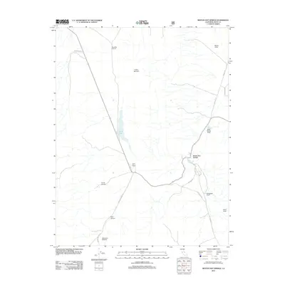
2012 Map of Benton Hot Springs
USGS Topo · Published 2012About this map
Benton Hot Springs serves as the focal point of this high-desert landscape in Mono County, where the transition from valley floors to canyon-cut mountainsides is clearly delineated. The map highlights the sparse but significant human presence in the region, centered on the historic springs and the nearby Dutch Petes Ranch. To the north, Trafton Mountain dominates the terrain, while the elongated basin of Blind Spring Valley runs parallel to the western slopes.
Find a feature on this map
21 named features on this map. Tap any name to fly to it.
Don’t see what you’re looking for? This feature index may not catch every label — zoom into the map to look around manually.
Map Details
Editions of this 2012 Benton Hot Springs Map
This is the sole edition of this map. No revisions or reprints were ever made.
Other maps of this area

1914 · Mt. Morrison
USGS Topo · 1:125,000

1917 · White Mountain
USGS Topo · 1:125,000

1947 · Mariposa
USGS Topo · 1:250,000

1948 · Mariposa
USGS Topo · 1:250,000

1953 · Casa Diablo Mtn
USGS Topo · 1:62,500

1957 · Mariposa
USGS Topo · 1:250,000

1962 · Benton
USGS Topo · 1:62,500

1962 · Glass Mountain
USGS Topo · 1:62,500

1962 · White Mtn. Peak
USGS Topo · 1:62,500

1963 · Mariposa
USGS Topo · 1:250,000