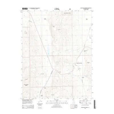
2015 Map of Benton Hot Springs
USGS Topo · Published 2015About this map
Benton Hot Springs lies at the heart of this high-desert landscape in Mono County, where the eastern slopes of the Benton Range meet the broad basins of Blind Spring Valley and Benton Valley. The terrain is defined by complex drainage systems and volcanic peaks, such as Trafton Mtn and the isolated rise of Blind Spring Hill. Remote canyons like Klondike Canyon, Frazier Canyon, and Kelty Canyon cut through the arid heights, leading toward the moisture of Watterson Meadow and the permanent waters of Black Lake.
Find a feature on this map
26 named features on this map. Tap any name to fly to it.
Don’t see what you’re looking for? This feature index may not catch every label — zoom into the map to look around manually.
Map Details
Editions of this 2015 Benton Hot Springs Map
This is the sole edition of this map. No revisions or reprints were ever made.
Other maps of this area

1914 · Mt. Morrison
USGS Topo · 1:125,000

1917 · White Mountain
USGS Topo · 1:125,000

1947 · Mariposa
USGS Topo · 1:250,000

1948 · Mariposa
USGS Topo · 1:250,000

1953 · Casa Diablo Mtn
USGS Topo · 1:62,500

1957 · Mariposa
USGS Topo · 1:250,000

1962 · Benton
USGS Topo · 1:62,500

1962 · Glass Mountain
USGS Topo · 1:62,500

1962 · White Mtn. Peak
USGS Topo · 1:62,500

1963 · Mariposa
USGS Topo · 1:250,000