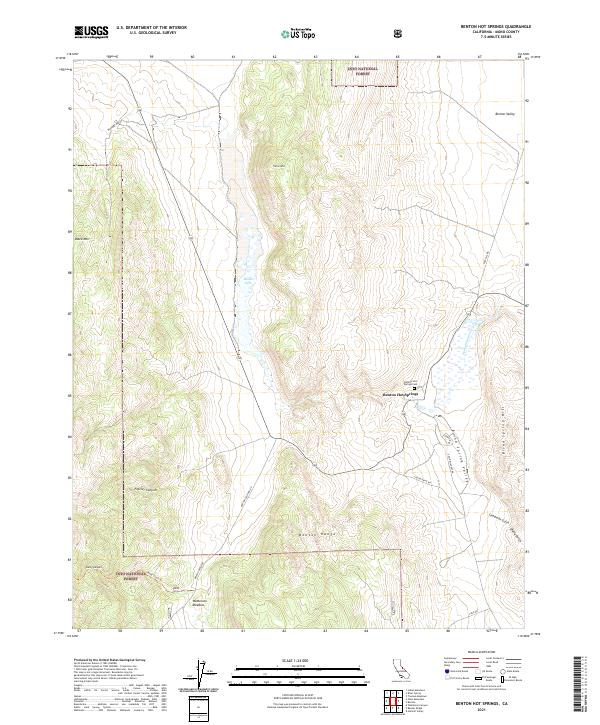
2021 Map of Benton Hot Springs
USGS Topo · Published 2021About this map
Benton Hot Springs lies at the heart of this high-desert landscape in Mono County, where the eastern slopes of the Sierra Nevada meet the Great Basin. This 2021 topographic record details the complex geography of the Benton Range and the tectonic depressions of Benton Valley and Blind Spring Valley. The area is characterized by dramatic elevation changes, moving from the marshy margins of Black Lake to the high peaks of Black Mtn and Trafton Mtn. Within the boundaries of the Inyo National Forest, the map traces vital corridors such as Benton Crossing Rd and the Kelty Stock Trl. Local heritage is anchored by the Benton Hot Springs Cem, providing a precise reference for genealogists and researchers interested in this historic watering stop along the desert routes.
Find a feature on this map
29 named features on this map. Tap any name to fly to it.
Don’t see what you’re looking for? This feature index may not catch every label — zoom into the map to look around manually.
Map Details
Editions of this 2021 Benton Hot Springs Map
This is the sole edition of this map. No revisions or reprints were ever made.
Other maps of this area

1914 · Mt. Morrison
USGS Topo · 1:125,000

1917 · White Mountain
USGS Topo · 1:125,000

1947 · Mariposa
USGS Topo · 1:250,000

1948 · Mariposa
USGS Topo · 1:250,000

1953 · Casa Diablo Mtn
USGS Topo · 1:62,500

1957 · Mariposa
USGS Topo · 1:250,000

1962 · Benton
USGS Topo · 1:62,500

1962 · Glass Mountain
USGS Topo · 1:62,500

1962 · White Mtn. Peak
USGS Topo · 1:62,500

1963 · Mariposa
USGS Topo · 1:250,000