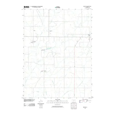
2010 Map of Benton
USGS Topo · Published 2010About this map
The agrarian landscape of Ringgold County is defined by a dense network of watercourses and small settlements that speak to the county's early development. The Grand River and Middle Fork Grand River carve through the terrain, joined by smaller tributaries like Walnut Creek and Fiddlers Creek. The village of Benton serves as a local hub, housing the Benton Post Office and nearby Benton Cemetery, while Delphos remains a distinct community to the south with its own Delphos Post Office.
Find a feature on this map
22 named features on this map. Tap any name to fly to it.
Don’t see what you’re looking for? This feature index may not catch every label — zoom into the map to look around manually.
Map Details
Editions of this 2010 Benton Map
This is the sole edition of this map. No revisions or reprints were ever made.
Other maps of this area

1940 · Blockton
USGS Topo · 1:62,500

1943 · Blockton
USGS Topo · 1:62,500

1945 · Mount Ayr
USGS Topo · 1:62,500

1947 · Mount Ayr
USGS Topo · 1:62,500

1955 · Nebraska City
USGS Topo · 1:250,000

1957 · Nebraska City
USGS Topo · 1:250,000

1958 · Nebraska City
USGS Topo · 1:250,000
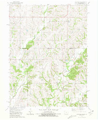
1981 · Blockton SE
USGS Topo · 1:24,000
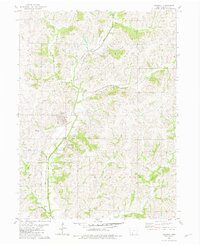
1981 · Diagonal
USGS Topo · 1:24,000
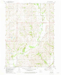
1981 · Maloy
USGS Topo · 1:24,000