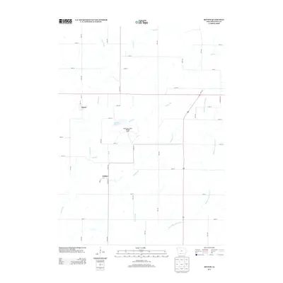
2013 Map of Benton
USGS Topo · Published 2013About this map
The small settlements of Benton and Delphos anchor this rural Ringgold County landscape, where the agricultural grid is defined by a dense network of numbered avenues and streets. Located near the southern border of Iowa, the area is dissected by several prominent waterways including the Grand River and the Middle Fork Grand River. The local drainage pattern, featuring Mitchells Run and Walnut Cr, converges near the Mount Ayr State Wildlife Area. This protected conservation land surrounds Walnut Creek Lake, providing a distinct break in the expansive farmland that otherwise dominates the region. The map preserves the precise location of local landmarks such as Main St in Benton and Boundary St in Delphos, which serve as historical reference points for researchers tracing the evolution of these small prairie communities in the early 21st century.
Find a feature on this map
42 named features on this map. Tap any name to fly to it.
Don’t see what you’re looking for? This feature index may not catch every label — zoom into the map to look around manually.
Map Details
Editions of this 2013 Benton Map
This is the sole edition of this map. No revisions or reprints were ever made.
Other maps of this area

1940 · Blockton
USGS Topo · 1:62,500

1943 · Blockton
USGS Topo · 1:62,500

1945 · Mount Ayr
USGS Topo · 1:62,500

1947 · Mount Ayr
USGS Topo · 1:62,500

1955 · Nebraska City
USGS Topo · 1:250,000

1957 · Nebraska City
USGS Topo · 1:250,000

1958 · Nebraska City
USGS Topo · 1:250,000
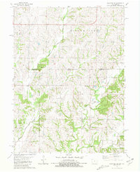
1981 · Blockton SE
USGS Topo · 1:24,000
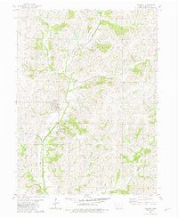
1981 · Diagonal
USGS Topo · 1:24,000
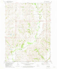
1981 · Maloy
USGS Topo · 1:24,000