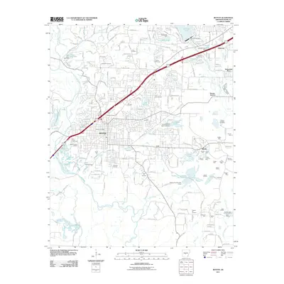
2011 Map of Benton
USGS Topo · Published 2011About this map
Benton and its surrounding industrial landscapes are defined by an extensive network of mineral extraction sites and water management systems. The eastern portion of the map is dominated by the namesake town of Bauxite, surrounded by numerous resource sites such as Standard Mine, Pruden Mine, and the Maggie Mine. These mining operations sit alongside a complex hydrology featuring Hurricane Lake, Caldwell Lake, and Holding Pond Number Two Reservoir, which support both local infrastructure and industrial needs like the Alcoa Water Supply.
Find a feature on this map
65 named features on this map. Tap any name to fly to it.
Don’t see what you’re looking for? This feature index may not catch every label — zoom into the map to look around manually.
Map Details
Editions of this 2011 Benton Map
This is the sole edition of this map. No revisions or reprints were ever made.
Other maps of this area

1890 · Benton
USGS Topo · 1:125,000

1891 · Little Rock
USGS Topo · 1:125,000

1893 · Little Rock
USGS Topo · 1:125,000

1894 · Benton
USGS Topo · 1:125,000

1935 · Alexander
USGS Topo · 1:48,000

1938 · Benton
USGS Topo · 1:48,000

1941 · Alexander
USGS Topo · 1:62,500

1944 · Benton
USGS Topo · 1:62,500

1944 · Alexander
USGS Topo · 1:31,680

1944 · Bryant
USGS Topo · 1:31,680