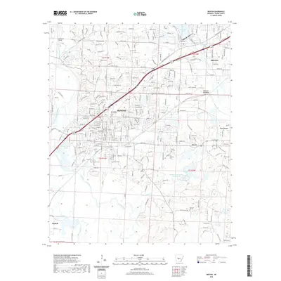
2020 Map of Benton
USGS Topo · Published 2020About this map
The Saline County Courthouse anchors the historic downtown of Benton, serving as a central point for the surrounding Saline County landscape. This modern survey illustrates the expansive residential and commercial growth connecting the regional hubs of Bryant and Haskell. The area's industrial legacy is clearly visible through the naming of Bauxite and Bauxite Junction, reflecting the mineral extraction that historically drove the local economy.
Find a feature on this map
48 named features on this map. Tap any name to fly to it.
Don’t see what you’re looking for? This feature index may not catch every label — zoom into the map to look around manually.
Map Details
Editions of this 2020 Benton Map
This is the sole edition of this map. No revisions or reprints were ever made.
Other maps of this area

1890 · Benton
USGS Topo · 1:125,000

1891 · Little Rock
USGS Topo · 1:125,000

1893 · Little Rock
USGS Topo · 1:125,000

1894 · Benton
USGS Topo · 1:125,000

1935 · Alexander
USGS Topo · 1:48,000

1938 · Benton
USGS Topo · 1:48,000

1941 · Alexander
USGS Topo · 1:62,500

1944 · Benton
USGS Topo · 1:62,500

1944 · Alexander
USGS Topo · 1:31,680

1944 · Bryant
USGS Topo · 1:31,680