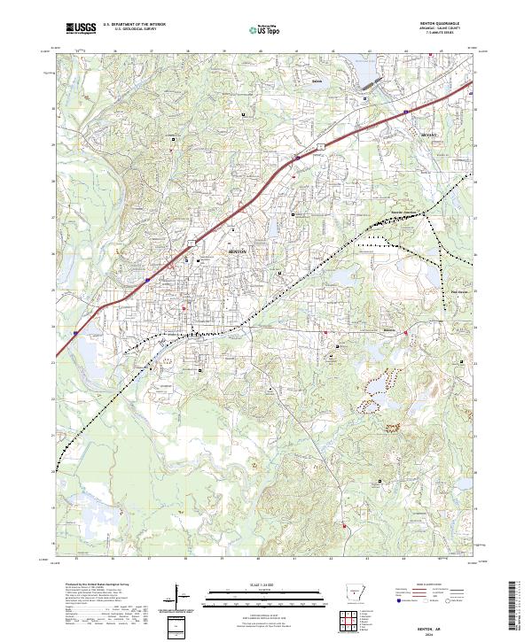
2024 Map of Benton
USGS Topo · Published 2024About this map
Benton serves as the focal point of this Saline County landscape, defined by the intersection of the Union Pacific railroad and the modern corridor of the Benton Pkwy. The city center is anchored by the Saline County Courthouse, surrounded by an established grid of streets like Edison Ave and Military Rd. To the east, the industrial heritage of the region is evident in settlements like Bauxite and Bauxite Junction, names that reflect the area's history with aluminum ore mining.
Find a feature on this map
181 named features on this map. Tap any name to fly to it.
Don’t see what you’re looking for? This feature index may not catch every label — zoom into the map to look around manually.
Map Details
Editions of this 2024 Benton Map
This is the sole edition of this map. No revisions or reprints were ever made.
Other maps of this area

1890 · Benton
USGS Topo · 1:125,000

1891 · Little Rock
USGS Topo · 1:125,000

1893 · Little Rock
USGS Topo · 1:125,000

1894 · Benton
USGS Topo · 1:125,000

1935 · Alexander
USGS Topo · 1:48,000

1938 · Benton
USGS Topo · 1:48,000

1941 · Alexander
USGS Topo · 1:62,500

1944 · Benton
USGS Topo · 1:62,500

1944 · Alexander
USGS Topo · 1:31,680

1944 · Bryant
USGS Topo · 1:31,680