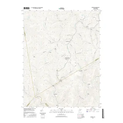
2016 Map of Bentree
USGS Topo · Published 2016About this map
Lizemores and Indore serve as central nodes in this mountainous portion of West Virginia, where the landscape is defined by a dense network of ridges and hollows at the intersection of Clay, Nicholas, Kanawha, and Fayette counties. The topography is deeply incised by the Adonijah Fork and Sycamore Cr, with settlements like Bentree and Vaughan following the narrow valley floors. Transportation routes such as State Rte and Greendale Rd wind through the terrain, connecting isolated communities and family landmarks. Cultural markers like Ida Cem and Holcomb Cem are situated on elevated ground, while features such as Independence Mtn and Bird Knob overlook the winding drainage of Open Fork. The map illustrates a contemporary pattern of rural life where place names like Bull Hollow and Ramp Hollow reflect a long-standing vernacular relationship with the steep Appalachian environment.
Find a feature on this map
82 named features on this map. Tap any name to fly to it.
Don’t see what you’re looking for? This feature index may not catch every label — zoom into the map to look around manually.
Map Details
Editions of this 2016 Bentree Map
This is the sole edition of this map. No revisions or reprints were ever made.
Other maps of this area

1897 · Kanawha Falls
USGS Topo · 1:125,000

1900 · Kanawha Falls
USGS Topo · 1:125,000

1901 · Kanawha Falls
USGS Topo · 1:125,000

1907 · Clendenin
USGS Topo · 1:62,500

1908 · Clay
USGS Topo · 1:48,000

1908 · Fayetteville
USGS Topo · 1:48,000

1908 · Montgomery
USGS Topo · 1:48,000

1909 · Clendenin
USGS Topo · 1:62,500

1910 · Clay
USGS Topo · 1:62,500

1910 · Fayetteville
USGS Topo · 1:62,500