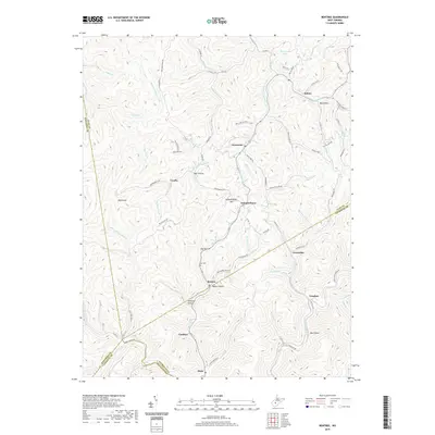
2019 Map of Bentree
USGS Topo · Published 2019About this map
The community of Bentree sits at a junction of deep hollows and winding mountain roads in this 2019 survey, illustrating the persistent settlement patterns of the West Virginia coalfields. This region, where the borders of Clay, Nicholas, Kanawha, and Fayette Counties meet, is defined by a network of steep ridges and drainages like Twentymile Creek and the Adonijah Fork. Small villages and family-named localities such as Indore, Lizemores, and Vaughan are connected by a complex system of state and county routes that trace the natural contours of the land. Local landmarks, including Independence Mtn and Henderson Lake, serve as geographical anchors for researchers tracing families in this area. Cultural markers like the Ida Cem provide critical points of reference for genealogists, while the dense labeling of features like Bull Hollow and Bird Knob offers a clear view of the local topography and naming traditions used by residents for generations.
Find a feature on this map
78 named features on this map. Tap any name to fly to it.
Don’t see what you’re looking for? This feature index may not catch every label — zoom into the map to look around manually.
Map Details
Editions of this 2019 Bentree Map
This is the sole edition of this map. No revisions or reprints were ever made.
Other maps of this area

1897 · Kanawha Falls
USGS Topo · 1:125,000

1900 · Kanawha Falls
USGS Topo · 1:125,000

1901 · Kanawha Falls
USGS Topo · 1:125,000

1907 · Clendenin
USGS Topo · 1:62,500

1908 · Clay
USGS Topo · 1:48,000

1908 · Fayetteville
USGS Topo · 1:48,000

1908 · Montgomery
USGS Topo · 1:48,000

1909 · Clendenin
USGS Topo · 1:62,500

1910 · Clay
USGS Topo · 1:62,500

1910 · Fayetteville
USGS Topo · 1:62,500