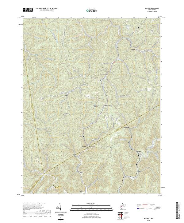
2023 Map of Bentree
USGS Topo · Published 2023About this map
Independence Mountain and Bird Knob dominate a landscape defined by the deep incisions of Twentymile Creek and Sycamore Creek. This central West Virginia terrain is marked by a network of hollows—including Ramp Hollow, Williams Hollow, and Big Hollow—where small settlements and family holdings have historically clustered. The map reveals the intricate social geography of the region, from the northern hamlet of Indore near Henderson Lake to the southern communities of Bentree, Vaughan, and Dixie.
Find a feature on this map
81 named features on this map. Tap any name to fly to it.
Don’t see what you’re looking for? This feature index may not catch every label — zoom into the map to look around manually.
Map Details
Editions of this 2023 Bentree Map
This is the sole edition of this map. No revisions or reprints were ever made.
Other maps of this area

1897 · Kanawha Falls
USGS Topo · 1:125,000

1900 · Kanawha Falls
USGS Topo · 1:125,000

1901 · Kanawha Falls
USGS Topo · 1:125,000

1907 · Clendenin
USGS Topo · 1:62,500

1908 · Clay
USGS Topo · 1:48,000

1908 · Fayetteville
USGS Topo · 1:48,000

1908 · Montgomery
USGS Topo · 1:48,000

1909 · Clendenin
USGS Topo · 1:62,500

1910 · Clay
USGS Topo · 1:62,500

1910 · Fayetteville
USGS Topo · 1:62,500