
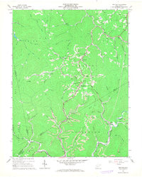
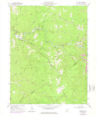
1967 Map of Bentree
USGS Topo · Published 1977About this map
Bentree and the surrounding hollows of West Virginia's coal country appear in high detail during the late 1960s, a landscape defined by the intersection of extractive industry and rural community life. The terrain is dominated by the extensive presence of Strip Mine operations carved into the ridges above Lick Branch and Williams Hollow. These industrial sites sit in close proximity to the social centers of the era, including schools like Lilly No 11 Sch and Brown Sch, and local congregations at Indore Chapel and Lizemores Ch.
Find a feature on this map
57 named features on this map. Tap any name to fly to it.
Don’t see what you’re looking for? This feature index may not catch every label — zoom into the map to look around manually.
Map Details
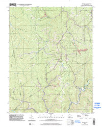
Editions of this 1967 Bentree Map
2 editions found
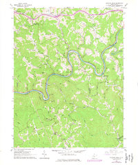
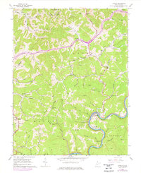
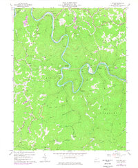
Historical Maps of Adonijah Through Time
11 maps found
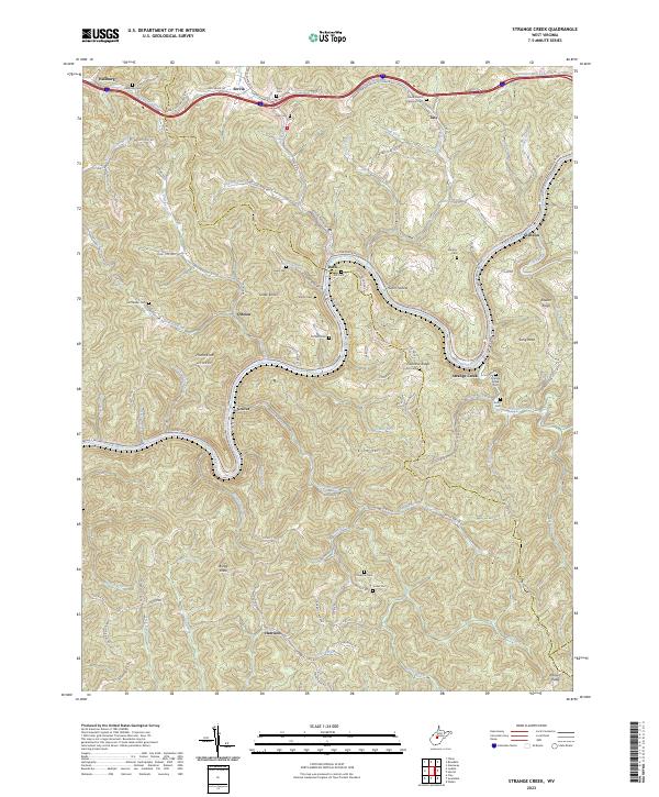
1965 Strange Creek
Clay County, WV
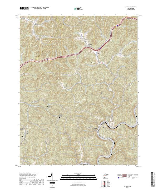
1966 Ivydale
Clay County, WV
1967 Bentree
Clay County, WV
1967 Elkhurst
Clay County, WV
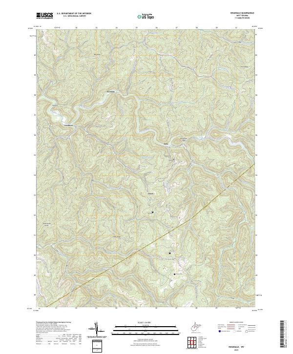
1967 Swandale
Clay County, WV
1996 Bentree
Clay County, WV
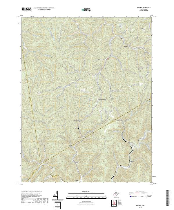
2023 Bentree
Clay County, WV
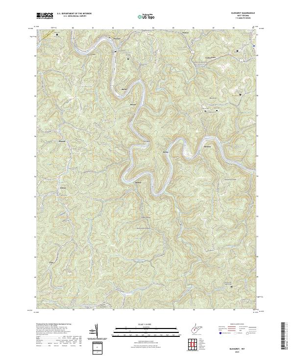
2023 Elkhurst
Clay County, WV
2023 Ivydale
Clay County, WV
2023 Strange Creek
Clay County, WV
2023 Swandale
Clay County, WV