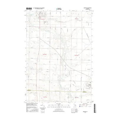
2017 Map of Benzonia
USGS Topo · Published 2017About this map
Benzonia occupies the northern reaches of this Benzie County landscape, situated where the village grid meets the winding course of the Betsie River. The area is defined by a transition from the structured street names of the town, such as Traverse Ave and S Michigan Ave, to the expansive recreational and agricultural lands to the south. The Betsie Valley State Trail follows a former railroad corridor, tracing a path across the river valley and through the countryside toward the Buck Hills.
Find a feature on this map
84 named features on this map. Tap any name to fly to it.
Don’t see what you’re looking for? This feature index may not catch every label — zoom into the map to look around manually.
Map Details
Editions of this 2017 Benzonia Map
This is the sole edition of this map. No revisions or reprints were ever made.
Other maps of this area

1954 · Traverse City
USGS Topo · 1:250,000

1954 · Manitowoc
USGS Topo · 1:250,000

1956 · Onekama
USGS Topo · 1:62,500

1956 · Thompsonville
USGS Topo · 1:62,500

1956 · Frankfort
USGS Topo · 1:62,500

1957 · Copemish
USGS Topo · 1:62,500

1958 · Traverse City
USGS Topo · 1:250,000

1958 · Manitowoc
USGS Topo · 1:250,000

1976 · Frankfort SE
USGS Topo · 1:24,000

1976 · Frankfort NW
USGS Topo · 1:24,000