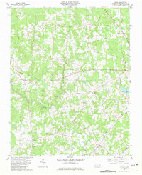
1981 Map of Berea
USGS Topo · Published 1981About this map
Tar River and its meandering tributaries, including Shelton Creek and Owen Creek, define the topography of this Granville County landscape as it appeared in the early 1980s. The area is characterized by a high density of rural community centers and houses of worship, such as Hesters Ch, Hebron Ch, and New Hope Ch, which served established settlements like Berea and Hebron. The northern portion of the quadrangle shows the crossroads at Kinton Fork and the nearby community of Hightsville, while the southern reaches are marked by the Providence area and the waters of Lake Devin.
Find a feature on this map
33 named features on this map. Tap any name to fly to it.
Don’t see what you’re looking for? This feature index may not catch every label — zoom into the map to look around manually.
Map Details
Editions of this 1981 Berea Map
2 editions found
Other maps of this area

1943 · Roxboro
USGS Topo · 1:62,500

1943 · Creedmoor
USGS Topo · 1:62,500

1944 · Creedmoor
USGS Topo · 1:62,500

1951 · Durham North
USGS Topo · 1:62,500

1953 · Oxford
USGS Topo · 1:62,500

1953 · Greensboro
USGS Topo · 1:250,000

1954 · Greensboro
USGS Topo · 1:250,000

1962 · Greensboro
USGS Topo · 1:250,000

1966 · Greensboro
USGS Topo · 1:250,000

1966 · Oxford
USGS Topo · 1:62,500