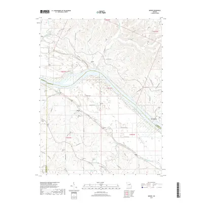
2017 Map of Berger
USGS Topo · Published 2017About this map
Berger and its surrounding riverlands are defined by the winding course of the Missouri River, which separates Franklin and Warren counties. This 2017 survey reveals a landscape deeply rooted in family history, evidenced by the numerous small family cemeteries scattered across the bluffs and bottoms. From the Kallmeyer Cem and Bade Cem in the south to the Millers Cem and Foster Cem north of the river near Gore, these sites mark the legacy of early settlers in the region. The map shows the convergence of several waterways, including Big Berger Creek and Little Berger Creek, which flow toward the Missouri valley. Small settlements such as Etlah and Bernheimer are linked by rural routes like Bernheimer Rd and Hwy B, maintaining the area's agricultural character. This modern topographic record is an essential resource for genealogists tracing these specific family burial grounds and the evolution of the riverfront geography.
Find a feature on this map
79 named features on this map. Tap any name to fly to it.
Don’t see what you’re looking for? This feature index may not catch every label — zoom into the map to look around manually.
Map Details
Editions of this 2017 Berger Map
This is the sole edition of this map. No revisions or reprints were ever made.
Other maps of this area
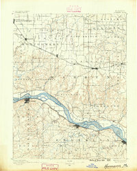
1890 · Hermann
USGS Topo · 1:125,000
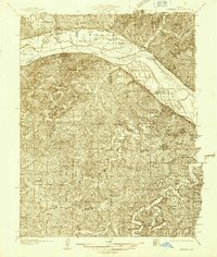
1936 · Hermann
USGS Topo · 1:48,000
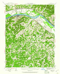
1942 · Hermann
USGS Topo · 1:62,500
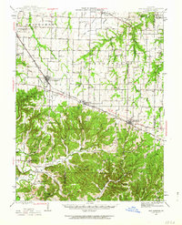
1942 · New Florence
USGS Topo · 1:62,500
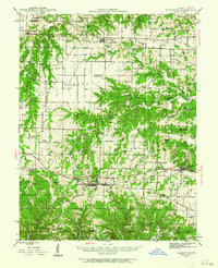
1943 · Warrenton
USGS Topo · 1:62,500
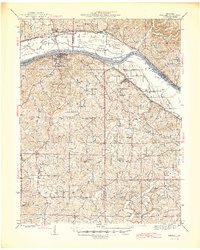
1945 · Hermann
USGS Topo · 1:62,500
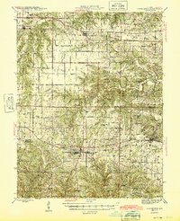
1945 · Warrenton
USGS Topo · 1:62,500
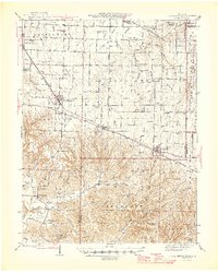
1946 · New Florence
USGS Topo · 1:62,500
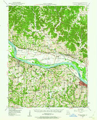
1948 · Washington
USGS Topo · 1:62,500
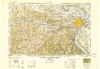
1949 · Saint Louis
USGS Topo · 1:250,000