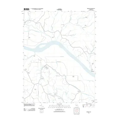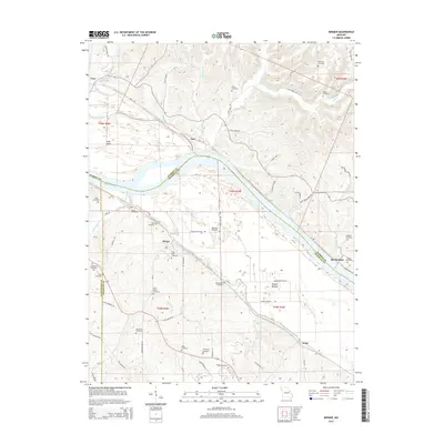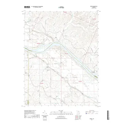
1974 Map of Berger
USGS Topo · Published 1975About this map
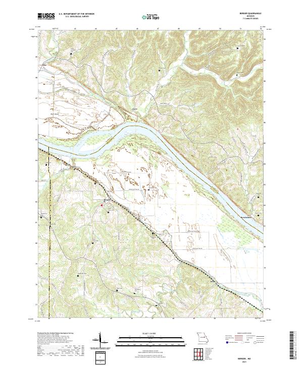
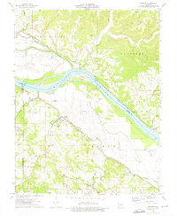
The Missouri River bisects this Missouri landscape, creating a distinct boundary between the river bottomlands and the rugged uplands of Boeuf and Pinckney. This mid-1970s survey captures the transport networks that shaped these riverfront communities, notably the Missouri Pacific railroad serving Berger and Etlah, while the Missouri - Kansas - Texas line follows the northern bank through Bridgeport. The map reveals a high density of small rural burial grounds, such as the Reinhardt Cem, Bretthorst Cem, and Finks Cem, which provide essential clues for genealogical research into the region's early families.
Find a feature on this map
50 named features on this map. Tap any name to fly to it.
Don’t see what you’re looking for? This feature index may not catch every label — zoom into the map to look around manually.
Map Details
Editions of this 1974 Berger Map
This is the sole edition of this map. No revisions or reprints were ever made.
Historical Maps of Berger Through Time
5 maps found