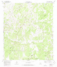
1964 Map of Bergheim
USGS Topo · Published 1975About this map
Bergheim serves as the primary settlement hub in this Hill Country landscape, situated amid a network of seasonal drainages and limestone ranchland during the mid-1960s. The terrain is defined by the winding course of Cibolo Creek along the southern boundary, where the map indicates areas subject to controlled inundation near the military reservation. Local hydrology is further detailed by the branching tributaries of Honey Creek, Panther Creek, and Swede Creek, which carve through the undulating topography.
Find a feature on this map
8 named features on this map. Tap any name to fly to it.
Don’t see what you’re looking for? This feature index may not catch every label — zoom into the map to look around manually.
Map Details
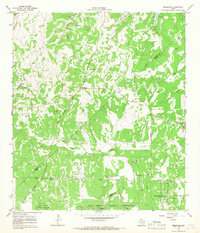
Editions of this 1964 Bergheim Map
2 editions found
Other maps of this area

1920 · Smithsons Valley
USGS Topo · 1:62,500

1927 · Smithson Valley
USGS Topo · 1:62,500

1929 · Smithson Valley
USGS Topo · 1:62,500

1940 · Smithson Valley
USGS Topo · 1:62,500

1953 · Otis Ridge
USGS Topo · 1:24,000

1953 · Bulverde
USGS Topo · 1:24,000

1953 · Van Raub
USGS Topo · 1:24,000

1954 · San Antonio
USGS Topo · 1:250,000

1957 · Boerne
USGS Topo · 1:62,500

1957 · San Antonio
USGS Topo · 1:250,000