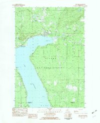
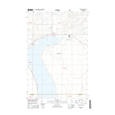
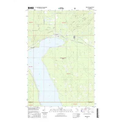
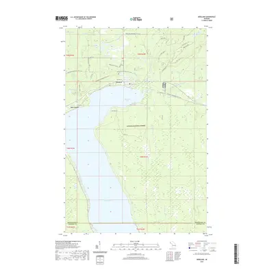
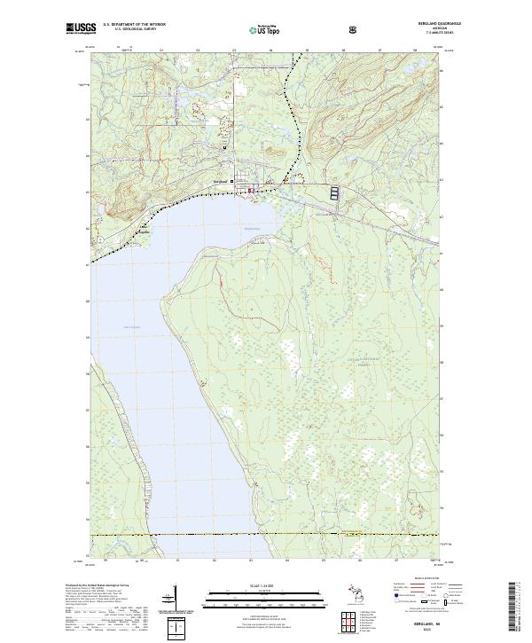
1982 Map of Bergland
USGS Topo · Published 1983About this map
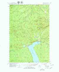
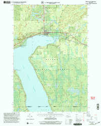
Lake Gogebic dominates this part of the Upper Peninsula, its waters meeting the shore along Shore Road and East Shore Road. The settlement of Bergland sits at the north end of the lake, serving as a focal point for the region's infrastructure, including a gas pipeline and the Bergland Dam Gage Sta on the West Branch Ontonagon River. The township's character is defined by the surrounding Ottawa National Forest, where the landscape is carved by numerous waterways like Knute Creek, Three Beers Creek, and Indian Creek.
Find a feature on this map
28 named features on this map. Tap any name to fly to it.
Don’t see what you’re looking for? This feature index may not catch every label — zoom into the map to look around manually.
Map Details
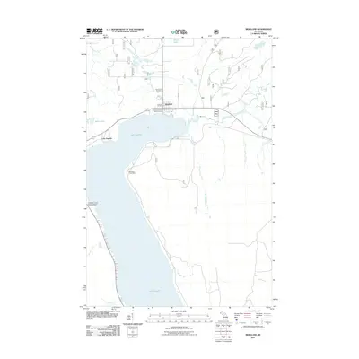
Editions of this 1982 Bergland Map
This is the sole edition of this map. No revisions or reprints were ever made.
Historical Maps of Bergland Through Time
8 maps found
Featured Locations
- Marenisco Township, MI
- Bergland Township, MI
- Matchwood Township, MI
- Bergland, Bergland Township
- Lake Gogebic, Bergland Township