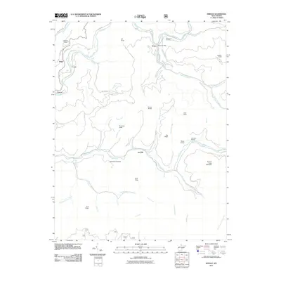
2011 Map of Bergoo
USGS Topo · Published 2011About this map
The Elk River and Gauley River define this high-elevation terrain in Webster County, where narrow valleys have long supported small timber and coal-related settlements. The community of Bergoo serves as a focal point, anchored by the Bergoo Post Office and the nearby Meadowland Cemetery on the northern banks of the Elk. The landscape is characterized by prominent peaks like Pompeys Knob and Jonathan Knob, separated by the massive Gauley Divide.
Find a feature on this map
55 named features on this map. Tap any name to fly to it.
Don’t see what you’re looking for? This feature index may not catch every label — zoom into the map to look around manually.
Map Details
Editions of this 2011 Bergoo Map
This is the sole edition of this map. No revisions or reprints were ever made.
Other maps of this area

1891 · Huntersville
USGS Topo · 1:125,000

1893 · Buckhannon
USGS Topo · 1:125,000

1894 · Huntersville
USGS Topo · 1:125,000

1896 · Buckhannon
USGS Topo · 1:125,000

1897 · Buckhannon
USGS Topo · 1:125,000

1913 · Hacker Valley
USGS Topo · 1:48,000

1913 · Pickens
USGS Topo · 1:48,000

1915 · Webster Springs
USGS Topo · 1:48,000

1915 · Hacker Valley
USGS Topo · 1:62,500

1915 · Pickens
USGS Topo · 1:62,500