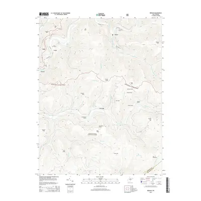
2014 Map of Bergoo
USGS Topo · Published 2014About this map
The Gauley Divide separates the primary drainage systems of this portion of the Monongahela National Forest, where the Elk River and Gauley River headwaters create a deeply carved mountain landscape. Settlement is concentrated along the river valleys and primary roads like WV-15 and Curtin Rd. Small communities such as Bergoo and Jerryville appear alongside more isolated locations like Ralph and Parcoal. Local genealogy and land use can be traced through sites like Union Cemetery near Curtin and Meadowland Cem near the upper reaches of Bergoo Cr. The map highlights the transition between the Webster and Pocahontas county lines, following the high ridges of the Yew Mountains. Prominent summits like Point Mtn, Bill Knob, and Redoak Knob define the skyline, while numerous hollows such as Ash Beetree Hollow and Johnson Hollow illustrate the complex topography of the West Virginia highlands.
Find a feature on this map
61 named features on this map. Tap any name to fly to it.
Don’t see what you’re looking for? This feature index may not catch every label — zoom into the map to look around manually.
Map Details
Editions of this 2014 Bergoo Map
This is the sole edition of this map. No revisions or reprints were ever made.
Other maps of this area

1891 · Huntersville
USGS Topo · 1:125,000

1893 · Buckhannon
USGS Topo · 1:125,000

1894 · Huntersville
USGS Topo · 1:125,000

1896 · Buckhannon
USGS Topo · 1:125,000

1897 · Buckhannon
USGS Topo · 1:125,000

1913 · Hacker Valley
USGS Topo · 1:48,000

1913 · Pickens
USGS Topo · 1:48,000

1915 · Webster Springs
USGS Topo · 1:48,000

1915 · Hacker Valley
USGS Topo · 1:62,500

1915 · Pickens
USGS Topo · 1:62,500