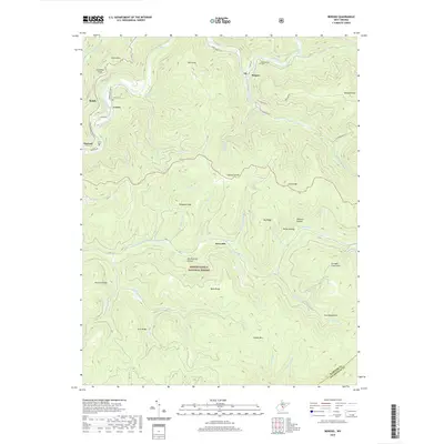
2019 Map of Bergoo
USGS Topo · Published 2019About this map
The Gauley Divide separates the drainage basins of two major West Virginia rivers on this topographic study of central Webster County. Settlements such as Bergoo, Curtin, and Parcoal are clustered along the river valleys and mountain roads, reflecting the region's historical reliance on narrow corridors of development between steep ridges. The northern portion follows the winding path of the Elk River and its tributary, the Back Fork Elk River, while the southern reaches descend toward the Gauley River. The rugged topography is characterized by high peaks like Point Mtn and Redoak Knob, much of which is protected within the Monongahela National Forest. Small family or community landmarks including Union Cem and Meadowland Cem provide essential anchor points for genealogical research in this Appalachian landscape.
Find a feature on this map
59 named features on this map. Tap any name to fly to it.
Don’t see what you’re looking for? This feature index may not catch every label — zoom into the map to look around manually.
Map Details
Editions of this 2019 Bergoo Map
This is the sole edition of this map. No revisions or reprints were ever made.
Other maps of this area

1891 · Huntersville
USGS Topo · 1:125,000

1893 · Buckhannon
USGS Topo · 1:125,000

1894 · Huntersville
USGS Topo · 1:125,000

1896 · Buckhannon
USGS Topo · 1:125,000

1897 · Buckhannon
USGS Topo · 1:125,000

1913 · Hacker Valley
USGS Topo · 1:48,000

1913 · Pickens
USGS Topo · 1:48,000

1915 · Webster Springs
USGS Topo · 1:48,000

1915 · Hacker Valley
USGS Topo · 1:62,500

1915 · Pickens
USGS Topo · 1:62,500