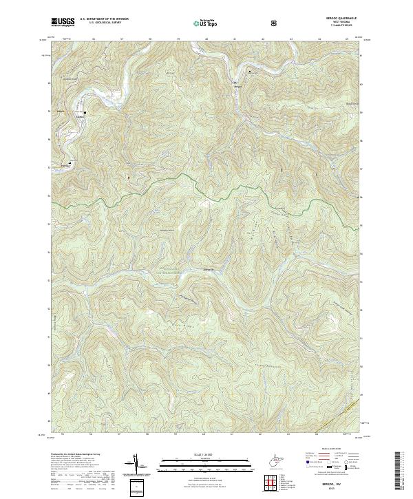
2023 Map of Bergoo
USGS Topo · Published 2023About this map
The Elk River winds through the northern portion of this map, anchoring a string of small settlements like Bergoo, Parcoal, and Curtin. This modern topographic study reveals a landscape defined by its deep drainage networks and high ridges, including Point Mountain and the Yew Mountains. Much of the central and southern terrain is managed as part of the Monongahela National Forest, where smaller tributaries like Williams Camp Run and Baughman Run feed into the Gauley River. The proximity of small family-named cemeteries such as Union Cem and Meadowland Cem near the river settlements provides localized points of interest for genealogists tracking families in the Webster County area. This map reflects the enduring rural character of the Appalachian highlands, where development remains concentrated along the river valleys while the surrounding ridges remain heavily forested and largely uninhabited.
Find a feature on this map
58 named features on this map. Tap any name to fly to it.
Don’t see what you’re looking for? This feature index may not catch every label — zoom into the map to look around manually.
Map Details
Editions of this 2023 Bergoo Map
This is the sole edition of this map. No revisions or reprints were ever made.
Other maps of this area

1891 · Huntersville
USGS Topo · 1:125,000

1893 · Buckhannon
USGS Topo · 1:125,000

1894 · Huntersville
USGS Topo · 1:125,000

1896 · Buckhannon
USGS Topo · 1:125,000

1897 · Buckhannon
USGS Topo · 1:125,000

1913 · Hacker Valley
USGS Topo · 1:48,000

1913 · Pickens
USGS Topo · 1:48,000

1915 · Webster Springs
USGS Topo · 1:48,000

1915 · Hacker Valley
USGS Topo · 1:62,500

1915 · Pickens
USGS Topo · 1:62,500