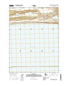
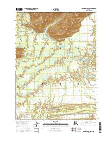
2016 Map of Bering Glacier A-5 SW
USGS Topo · Published 2016About this map
The Gulf of Alaska coastline dominates this 2016 survey, where the vast marine expanse meets the braided drainage systems of the northern coast. The Kaliakh River and the Chiuki River weave through the shoreline landscape, creating a complex network of waterways and wetlands typical of this glacial region. Positioned within the Yakutat City and Borough, the map captures the wilderness character of the coast before it transitions into the interior mountains. The lack of roads or established settlements emphasizes the dynamic nature of these river outlets, which shift constantly against the tides of the open gulf.
Find a feature on this map
6 named features on this map. Tap any name to fly to it.
Don’t see what you’re looking for? This feature index may not catch every label — zoom into the map to look around manually.
Map Details
Editions of this 2016 Bering Glacier A-5 SW Map
This is the sole edition of this map. No revisions or reprints were ever made.
Other maps of this area

1950 · Bering Glacier
USGS Topo · 1:250,000

1950 · Icy Bay
USGS Topo · 1:250,000

1951 · Icy Bay
USGS Topo · 1:250,000

1951 · Bering Glacier
USGS Topo · 1:250,000

1959 · Bering Glacier
USGS Topo · 1:250,000

1961 · Icy Bay
USGS Topo · 1:250,000
1984 · Bering Glacier A-6
USGS Topo · 1:63,360
1984 · Bering Glacier A-5
USGS Topo · 1:63,360
2016 · Bering Glacier A-5 SE
USGS Topo · 1:25,000
2016 · Bering Glacier A-6 NE
USGS Topo · 1:25,000