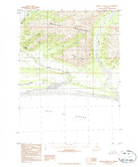
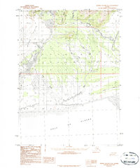
1984 Map of Bering Glacier A-5
USGS Topo · Published 1984About this map
Robinson Mountains dominate the northern landscape of this coastal Alaskan region, where steep peaks give way to a network of braided glacial river systems. The Kulieth River and Duktoth River carry meltwater south toward the coast, creating complex alluvial fans and shifting riverbeds. This 1984 provisional survey, compiled from 1970s aerial photography, documents the interface between the high ridges of Kulthieth Mountain and the Gulf of Alaska. The presence of Sunshine Point and various named tributaries like Odor Creek and Hope Creek indicates the early naming of landmarks by surveyors and local travelers in a terrain otherwise defined by its immense ice-fed drainage basins. The Kaliakh River further illustrates the dynamic nature of these waterways as they approach the sea level flats before meeting the Pacific.
Find a feature on this map
10 named features on this map. Tap any name to fly to it.
Don’t see what you’re looking for? This feature index may not catch every label — zoom into the map to look around manually.
Map Details
Editions of this 1984 Bering Glacier A-5 Map
2 editions found
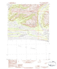
Other maps of this area

1948 · Bering Glacier A-4
USGS Topo · 1:63,360

1950 · Bering Glacier
USGS Topo · 1:250,000

1950 · Icy Bay
USGS Topo · 1:250,000

1951 · Icy Bay
USGS Topo · 1:250,000

1951 · Bering Glacier
USGS Topo · 1:250,000
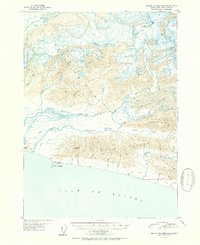
1951 · Bering Glacier A-4
USGS Topo · 1:63,360

1959 · Bering Glacier
USGS Topo · 1:250,000
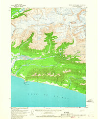
1959 · Bering Glacier A-4
USGS Topo · 1:63,360

1961 · Icy Bay
USGS Topo · 1:250,000
1984 · Bering Glacier A-6
USGS Topo · 1:63,360