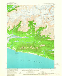
1959 Map of Bering Glacier A-4
USGS Topo · Published 1967About this map
The Gulf of Alaska coastline meets the dramatic ice-carved terrain of the Robinson Mountains in this mid-century survey. Human presence is concentrated at Cape Yakataga, where the Yakataga Airport and a Radio Facility provide critical links to this isolated coastal stretch. The landscape is defined by massive ice fields and active glacial movement, with the Leeper Glacier and Watson Glacier feeding into complex drainage systems. The Yakataga River splits into a North Channel and South Channel, weaving through a low-lying basin before reaching the sea. Evidence of resource exploration appears inland at Coal Peak and various Drill Hole locations. This survey captures a moment when scattered Cabins and technical outposts were the only permanent markers of habitation between the high peaks and the surf.
Find a feature on this map
32 named features on this map. Tap any name to fly to it.
Don’t see what you’re looking for? This feature index may not catch every label — zoom into the map to look around manually.
Map Details
Editions of this 1959 Bering Glacier A-4 Map
2 editions found
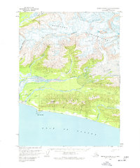
Other maps of this area

1948 · Bering Glacier A-4
USGS Topo · 1:63,360

1950 · Bering Glacier A-3
USGS Topo · 1:63,360

1950 · Bering Glacier
USGS Topo · 1:250,000

1950 · Icy Bay
USGS Topo · 1:250,000

1951 · Icy Bay
USGS Topo · 1:250,000

1951 · Bering Glacier
USGS Topo · 1:250,000
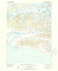
1951 · Bering Glacier A-4
USGS Topo · 1:63,360

1959 · Bering Glacier
USGS Topo · 1:250,000
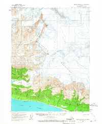
1959 · Bering Glacier A-3
USGS Topo · 1:63,360

1961 · Icy Bay
USGS Topo · 1:250,000