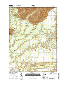
2016 Map of Bering Glacier A-6 NE
USGS Topo · Published 2016About this map
Glacial meltwater and intricate drainage patterns dominate this Yakutat landscape, where the Kaliakh River flows through a broad alluvial plain. The braided network of the Tsivat River, including the W Fork Tsivat and E Fork Tsivat, illustrates the dynamic nature of this coastal environment near the Bering Glacier. To the north, the terrain rises into steep ridges cut by the Kosakuts River, while the southeastern corner is defined by the Kulthieth River and the small Odor Creek. This survey provides a precise record of the shifting hydrological features and wetland boundaries that characterize this unsettled stretch of the Alaskan coast.
Find a feature on this map
13 named features on this map. Tap any name to fly to it.
Don’t see what you’re looking for? This feature index may not catch every label — zoom into the map to look around manually.
Map Details
Editions of this 2016 Bering Glacier A-6 NE Map
This is the sole edition of this map. No revisions or reprints were ever made.
Other maps of this area

1950 · Bering Glacier
USGS Topo · 1:250,000

1951 · Bering Glacier
USGS Topo · 1:250,000

1959 · Bering Glacier
USGS Topo · 1:250,000
1984 · Bering Glacier A-6
USGS Topo · 1:63,360
1984 · Bering Glacier A-5
USGS Topo · 1:63,360
1985 · Bering Glacier B-5
USGS Topo · 1:63,360
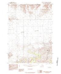
1985 · Bering Glacier B-6
USGS Topo · 1:63,360
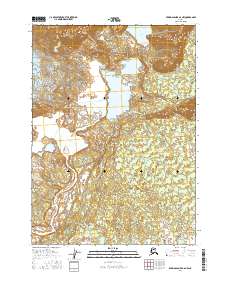
2016 · Bering Glacier A-6 NW
USGS Topo · 1:25,000
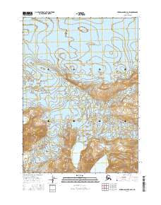
2016 · Bering Glacier B-6 SW
USGS Topo · 1:25,000
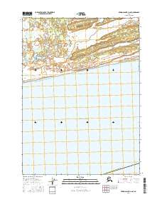
2016 · Bering Glacier A-6 SE
USGS Topo · 1:25,000