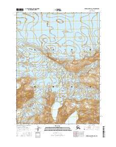
2016 Map of Bering Glacier B-6 SW
USGS Topo · Published 2016About this map
Bering Glacier dominates the northern half of this landscape, its massive icy reach defining the glacial drainage patterns toward the Gulf of Alaska. The southern portion transition into a complex of elevated terrain and isolated water bodies, most notably the deep contours of the Grindle Hills and the adjacent Grindle Gap. Further east, the waters of Hanna Lake sit near the base of prominent rises including Override Ridge and Donald Ridge. This 2016 survey documents the exact footprint of the glacier and its associated moraines during a period of significant glacial recession, providing a baseline for geologists and climate researchers studying the shifting ice of the Yakutat region.
Find a feature on this map
10 named features on this map. Tap any name to fly to it.
Don’t see what you’re looking for? This feature index may not catch every label — zoom into the map to look around manually.
Map Details
Editions of this 2016 Bering Glacier B-6 SW Map
This is the sole edition of this map. No revisions or reprints were ever made.
Other maps of this area

1950 · Bering Glacier
USGS Topo · 1:250,000

1951 · Bering Glacier
USGS Topo · 1:250,000

1959 · Bering Glacier
USGS Topo · 1:250,000
1984 · Bering Glacier A-6
USGS Topo · 1:63,360
1984 · Bering Glacier A-7
USGS Topo · 1:63,360
1985 · Bering Glacier B-6
USGS Topo · 1:63,360
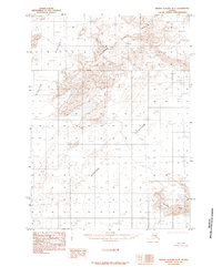
1985 · Bering Glacier B-7
USGS Topo · 1:63,360
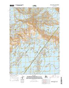
2014 · Bering Glacier B-7 NE
USGS Topo · 1:25,000
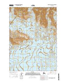
2014 · Bering Glacier B-6 NW
USGS Topo · 1:25,000
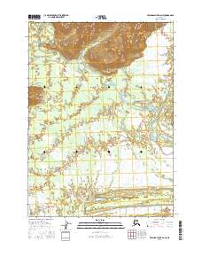
2016 · Bering Glacier A-6 NE
USGS Topo · 1:25,000