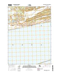
2016 Map of Bering Glacier A-6 SE
USGS Topo · Published 2016About this map
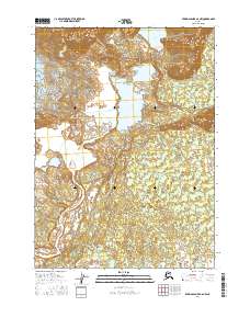
Yakutat City and Borough Alaska occupies the southern coastal edge of this survey, where the terrestrial landscape meets the expansive Gulf of Alaska. The terrain is defined by a dense network of braided waterways and wetlands, highlighting the hydrological complexity of the region. The Tsiu River and Tsivat River dominate the western portion of the sheet, while the Chiuki River and Kaliakh River flow through the eastern sections. These rivers create a dynamic environment of shifting channels and sediment deposits characteristic of this part of the Alaskan coast. The map also includes public land survey system designations such as t21s r14e and t21s r15e, providing a grid for locating specific tracts within this largely uninhabited wetland expanse.
Find a feature on this map
8 named features on this map. Tap any name to fly to it.
Don’t see what you’re looking for? This feature index may not catch every label — zoom into the map to look around manually.
Map Details
Editions of this 2016 Bering Glacier A-6 SE Map
This is the sole edition of this map. No revisions or reprints were ever made.
Other maps of this area

1950 · Bering Glacier
USGS Topo · 1:250,000

1950 · Icy Bay
USGS Topo · 1:250,000

1951 · Icy Bay
USGS Topo · 1:250,000

1951 · Bering Glacier
USGS Topo · 1:250,000

1959 · Bering Glacier
USGS Topo · 1:250,000

1961 · Icy Bay
USGS Topo · 1:250,000
1984 · Bering Glacier A-6
USGS Topo · 1:63,360
1984 · Bering Glacier A-5
USGS Topo · 1:63,360
2016 · Bering Glacier A-6 NE
USGS Topo · 1:25,000
2016 · Bering Glacier A-6 NW
USGS Topo · 1:25,000