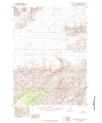
1985 Map of Bering Glacier B-5
USGS Topo · Published 1985About this map
Bering Glacier dominates this landscape, its massive ice fields and moraine lines stretching across the northern and central sections of the quadrangle. Below the glacier, the ice gives way to the sharp elevations of the Robinson Mountains and Barkley Ridge, creating a stark transition from glacial ice to high-altitude terrain. This 1985 provisional edition documents the intricate drainage patterns of the Kulthieth River and the Dukioth River, which flow from the southern slopes. The map provides a detailed view of the glacial terminus and the complex network of moraines that characterize this subarctic environment. To the northwest, the prominent Waxell Ridge marks the boundary of the upper glacial reaches, serving as a critical reference point for understanding the physical geography of this remote coastal Alaskan region.
Find a feature on this map
6 named features on this map. Tap any name to fly to it.
Don’t see what you’re looking for? This feature index may not catch every label — zoom into the map to look around manually.
Map Details
Editions of this 1985 Bering Glacier B-5 Map
This is the sole edition of this map. No revisions or reprints were ever made.
Other maps of this area

1948 · Bering Glacier A-4
USGS Topo · 1:63,360

1950 · Bering Glacier
USGS Topo · 1:250,000

1951 · Bering Glacier
USGS Topo · 1:250,000
1951 · Bering Glacier A-4
USGS Topo · 1:63,360

1959 · Bering Glacier
USGS Topo · 1:250,000
1959 · Bering Glacier A-4
USGS Topo · 1:63,360
1984 · Bering Glacier A-6
USGS Topo · 1:63,360
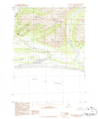
1984 · Bering Glacier A-5
USGS Topo · 1:63,360
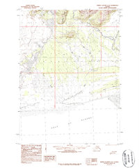
1984 · Bering Glacier A-4
USGS Topo · 1:63,360
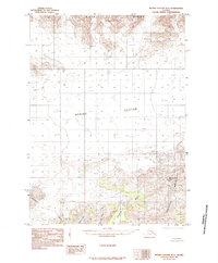
1985 · Bering Glacier B-6
USGS Topo · 1:63,360