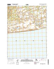
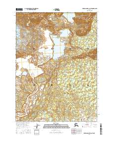
2016 Map of Bering Glacier A-6 SW
USGS Topo · Published 2016About this map
The Tsiu River meanders across a low-lying coastal landscape where freshwater systems meet the saltwater influence of the Gulf of Alaska. This 2016 survey highlights the complex braiding of the river as it approaches the shoreline, creating a vast network of wetlands and shifting channels. The geography is largely defined by this aquatic intersection, with the river's path weaving through terrain identified by the Public Land Survey System designations t21s r13e and t21s r14e. The interaction between the southern coastline and the inland drainage patterns illustrates the dynamic nature of this Alaskan shoreline, where sediment and water flow are the primary architects of the land.
Find a feature on this map
4 named features on this map. Tap any name to fly to it.
Don’t see what you’re looking for? This feature index may not catch every label — zoom into the map to look around manually.
Map Details
Editions of this 2016 Bering Glacier A-6 SW Map
This is the sole edition of this map. No revisions or reprints were ever made.
Other maps of this area

1950 · Bering Glacier
USGS Topo · 1:250,000

1950 · Icy Bay
USGS Topo · 1:250,000

1951 · Icy Bay
USGS Topo · 1:250,000

1951 · Bering Glacier
USGS Topo · 1:250,000

1959 · Bering Glacier
USGS Topo · 1:250,000

1961 · Icy Bay
USGS Topo · 1:250,000
1984 · Bering Glacier A-6
USGS Topo · 1:63,360
1984 · Bering Glacier A-7
USGS Topo · 1:63,360
2016 · Bering Glacier A-6 NE
USGS Topo · 1:25,000
2016 · Bering Glacier A-6 NW
USGS Topo · 1:25,000