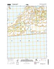
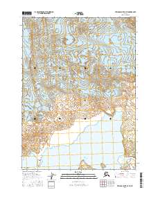
2016 Map of Bering Glacier A-7 SE
USGS Topo · Published 2016About this map
Beringia Novaya sits on the western edge of this coastal landscape, where the shifting hydrology of the glacial outwash plain defines the terrain. The presence of the Abandoned River and the meandering Midimber River suggests a dynamic environment where water courses frequently alter their path through the low-lying wetlands. Along the southern coast, the Gulf of Alaska meets the shoreline, with Midimber Lake serving as a significant inland water body just north of the beach. Further north, the prominent Pointed Island stands out amidst the complex network of braids and streams, illustrating the geomorphological transition from glaciated heights toward the sea. This map provides a clear view of the wilderness before the impacts of rapid coastal erosion or major hydrological shifts.
Find a feature on this map
12 named features on this map. Tap any name to fly to it.
Don’t see what you’re looking for? This feature index may not catch every label — zoom into the map to look around manually.
Map Details
Editions of this 2016 Bering Glacier A-7 SE Map
This is the sole edition of this map. No revisions or reprints were ever made.
Other maps of this area

1950 · Bering Glacier
USGS Topo · 1:250,000

1950 · Icy Bay
USGS Topo · 1:250,000

1951 · Icy Bay
USGS Topo · 1:250,000

1951 · Bering Glacier
USGS Topo · 1:250,000

1959 · Bering Glacier
USGS Topo · 1:250,000

1961 · Icy Bay
USGS Topo · 1:250,000
1984 · Bering Glacier A-6
USGS Topo · 1:63,360
1984 · Bering Glacier A-7
USGS Topo · 1:63,360
2016 · Bering Glacier A-6 NW
USGS Topo · 1:25,000
2016 · Bering Glacier A-7 NE
USGS Topo · 1:25,000