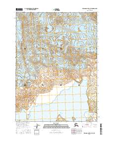
2016 Map of Bering Glacier A-7 NE
USGS Topo · Published 2016About this map
Bering Glacier dominates this coastal landscape in the Yakutat region, carving a complex network of glacial features and islands as it meets the Gulf of Alaska. The map illustrates a dynamic environment where the Abandoned River and the sheltered waters of Foottrack Cove highlight the shifting nature of the shoreline. Named landforms such as The Wallypogs, Whaleback Island, and Peat Falls Island serve as critical navigation points along this ice-sculpted coast. The presence of Tsitus Island and Arrowhead Point near the water's edge reflects the intricate interplay of ice and sea, providing a detailed look at the geological processes still shaping this part of the Alaskan wilderness in the early 21st century.
Find a feature on this map
20 named features on this map. Tap any name to fly to it.
Don’t see what you’re looking for? This feature index may not catch every label — zoom into the map to look around manually.
Map Details
Editions of this 2016 Bering Glacier A-7 NE Map
This is the sole edition of this map. No revisions or reprints were ever made.
Other maps of this area

1950 · Bering Glacier
USGS Topo · 1:250,000

1951 · Bering Glacier
USGS Topo · 1:250,000

1959 · Bering Glacier
USGS Topo · 1:250,000
1984 · Bering Glacier A-6
USGS Topo · 1:63,360
1984 · Bering Glacier A-7
USGS Topo · 1:63,360
1985 · Bering Glacier B-6
USGS Topo · 1:63,360
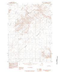
1985 · Bering Glacier B-7
USGS Topo · 1:63,360
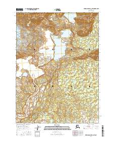
2016 · Bering Glacier A-6 NW
USGS Topo · 1:25,000
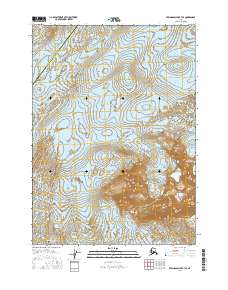
2016 · Bering Glacier B-7 SE
USGS Topo · 1:25,000
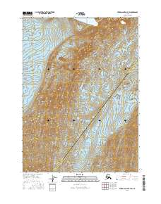
2016 · Bering Glacier B-7 SW
USGS Topo · 1:25,000