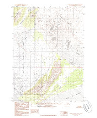
1984 Map of Bering Glacier A-8
USGS Topo · Published 1986About this map
Bering Glacier dominates this coastal Alaskan landscape, where the massive ice field meets the dynamic alluvial plains and wetlands of the Gulf of Alaska. The interior is defined by prominent peaks such as Nichawak Mountain and Mt Campbell, which rise above a network of glacial runoff including the Campbell River and Sewah Creek. This mid-1980s data highlights the transition from the ice-carved highlands to the marshy lowlands of the Chugach National Forest.
Find a feature on this map
14 named features on this map. Tap any name to fly to it.
Don’t see what you’re looking for? This feature index may not catch every label — zoom into the map to look around manually.
Map Details
Editions of this 1984 Bering Glacier A-8 Map
2 editions found
Other maps of this area

1948 · Cordova
USGS Topo · 1:250,000

1948 · Middleton Island
USGS Topo · 1:250,000

1950 · Middleton Island
USGS Topo · 1:250,000

1950 · Bering Glacier
USGS Topo · 1:250,000

1950 · Icy Bay
USGS Topo · 1:250,000

1950 · Cordova A-1
USGS Topo · 1:63,360

1951 · Icy Bay
USGS Topo · 1:250,000

1951 · Bering Glacier
USGS Topo · 1:250,000

1951 · Cordova
USGS Topo · 1:250,000

1951 · Cordova B-1
USGS Topo · 1:63,360