
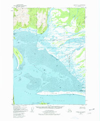
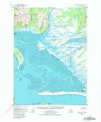
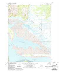
1950 Map of Cordova A-1
USGS Topo · Published 1964About this map
Chilkat and the Cannery (Abandoned) stand as the primary signs of human industry along this stretch of the Alaska coast in 1950. The landscape is defined by the massive outflow of the Bering River and the Nichawak River, which deposit silt across the broad Mud flats of Controller Bay. Inland, the terrain rises sharply toward Nichawak Mountain, while the coastline is protected by the elongated Okalee Spit and Kanak Island. This map reveals the dynamic nature of a shoreline shaped by glacial runoff and tidal action, specifically noting the Chugach National Forest Exclusion Area at the delta of the Campbell River. From remote Cabin sites to the surveyed landmarks like VABM Ber 1552, the survey documents a region where access depends entirely on the intricate network of channels like Okalee Channel.
Find a feature on this map
42 named features on this map. Tap any name to fly to it.
Don’t see what you’re looking for? This feature index may not catch every label — zoom into the map to look around manually.
Map Details
Editions of this 1950 Cordova A-1 Map
4 editions found
Other maps of this area

1948 · Cordova
USGS Topo · 1:250,000

1948 · Middleton Island
USGS Topo · 1:250,000

1950 · Middleton Island
USGS Topo · 1:250,000

1950 · Bering Glacier
USGS Topo · 1:250,000

1950 · Icy Bay
USGS Topo · 1:250,000

1950 · Cordova B-2
USGS Topo · 1:63,360

1950 · Cordova A-2
USGS Topo · 1:63,360

1951 · Icy Bay
USGS Topo · 1:250,000

1951 · Bering Glacier
USGS Topo · 1:250,000

1951 · Cordova
USGS Topo · 1:250,000