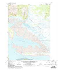
1950 Map of Cordova A-1
USGS Topo · Published 1988About this map
The Bering River and Campbell River dominate this coastal landscape as they flow toward the expansive Controller Bay. This mid-century survey, revised with 1980s data, documents the intricate hydrology of the Chugach National Forest shoreline, where the Don Miller Hills meet the sea. The map reveals small coastal outposts like Chilkat, Ber, and Soma, providing evidence of mid-century settlement patterns in this remote region of Alaska. To the south, the protective Okalee Spit and the distinctive Kanak Island buffer the bay from the Gulf of Alaska. The presence of small labels such as Fitz, Harris, and Oke near the tidal flats suggests isolated camps or historical landings essential for early 20th-century coastal navigation and resource access before the implementation of modern land management boundaries.
Find a feature on this map
35 named features on this map. Tap any name to fly to it.
Don’t see what you’re looking for? This feature index may not catch every label — zoom into the map to look around manually.
Map Details
Editions of this 1950 Cordova A-1 Map
4 editions found
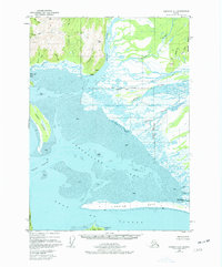
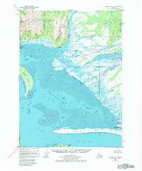
Other maps of this area

1948 · Cordova
USGS Topo · 1:250,000

1948 · Middleton Island
USGS Topo · 1:250,000

1950 · Middleton Island
USGS Topo · 1:250,000

1950 · Bering Glacier
USGS Topo · 1:250,000

1950 · Icy Bay
USGS Topo · 1:250,000

1950 · Cordova B-2
USGS Topo · 1:63,360

1950 · Cordova A-1
USGS Topo · 1:63,360

1950 · Cordova A-2
USGS Topo · 1:63,360

1951 · Icy Bay
USGS Topo · 1:250,000

1951 · Bering Glacier
USGS Topo · 1:250,000