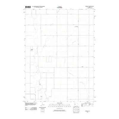
2010 Map of Berkley
USGS Topo · Published 2010About this map
Berkley serves as the primary settlement center in this section of Boone County, where the landscape is defined by the complex drainage of the Beaver Creek system. The map reveals a strictly organized rural grid of section-line roads, such as 280th St and Deer Ave, which carve the prairie into a productive agricultural pattern. This 2010 survey is particularly useful for genealogists, as it meticulously identifies scattered burial grounds that speak to the area's early Lutheran and pioneer heritage. From the Swede Valley Lutheran Cemetery in the north to Moore Cemetery and Fairview Cemetery further south, these sites indicate the locations of historic rural congregations. The meandering paths of East Beaver Creek and Little Beaver Creek provide a sharp contrast to the rigid geometry of the surrounding farmland, marking the natural breaks in an otherwise disciplined midwestern landscape.
Find a feature on this map
28 named features on this map. Tap any name to fly to it.
Don’t see what you’re looking for? This feature index may not catch every label — zoom into the map to look around manually.
Map Details
Editions of this 2010 Berkley Map
This is the sole edition of this map. No revisions or reprints were ever made.
Other maps of this area

1911 · Madrid
USGS Topo · 1:62,500

1914 · Madrid
USGS Topo · 1:62,500

1916 · Boone
USGS Topo · 1:62,500

1950 · Perry
USGS Topo · 1:62,500

1951 · Perry
USGS Topo · 1:62,500

1951 · Ogden
USGS Topo · 1:62,500

1954 · Omaha
USGS Topo · 1:250,000

1954 · Waterloo
USGS Topo · 1:250,000

1954 · Fort Dodge
USGS Topo · 1:250,000

1954 · Des Moines
USGS Topo · 1:250,000