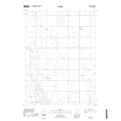
2018 Map of Berkley
USGS Topo · Published 2018About this map
Berkley stands as the primary settlement in this section of Boone County, surrounded by a landscape defined by the branching waterways of the Beaver Creek system. The area's agricultural and genealogical history is anchored by several long-standing burial sites, including the Swede Valley Lutheran Cem to the northeast and Fairview Cem further south. The map documents a dense network of local routes, such as Co Hwy E57 and Crane Ave, that connect the rural farmsteads to the town center.
Find a feature on this map
41 named features on this map. Tap any name to fly to it.
Don’t see what you’re looking for? This feature index may not catch every label — zoom into the map to look around manually.
Map Details
Editions of this 2018 Berkley Map
This is the sole edition of this map. No revisions or reprints were ever made.
Other maps of this area

1911 · Madrid
USGS Topo · 1:62,500

1914 · Madrid
USGS Topo · 1:62,500

1916 · Boone
USGS Topo · 1:62,500

1950 · Perry
USGS Topo · 1:62,500

1951 · Perry
USGS Topo · 1:62,500

1951 · Ogden
USGS Topo · 1:62,500

1954 · Omaha
USGS Topo · 1:250,000

1954 · Waterloo
USGS Topo · 1:250,000

1954 · Fort Dodge
USGS Topo · 1:250,000

1954 · Des Moines
USGS Topo · 1:250,000