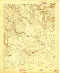
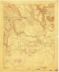
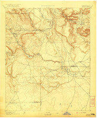
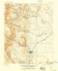
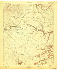
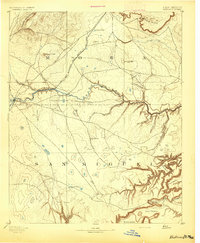
1894 Map of Bernal
USGS Topo · Published 1894About this map
The Rio Pecos carves a deep path through this New Mexico territory, anchoring a string of traditional settlements such as San Miguel and La Cuesta. Surveyed just before the turn of the century, the landscape reflects a transition from colonial-era land grants to the industrial arrival of the Atchison Topeka and Santa Fe Railroad. This rail line tracks across the northern reach, connecting San Miguel Station and Old Bernal to the wider territory.
Find a feature on this map
32 named features on this map. Tap any name to fly to it.
Don’t see what you’re looking for? This feature index may not catch every label — zoom into the map to look around manually.
Map Details
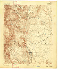
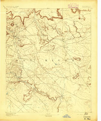
Editions of this 1894 Bernal Map
4 editions found

Other maps of this area
1889 · Las Vegas
USGS Topo · 1:125,000

1889 · Santa Fe
USGS Topo · 1:125,000

1890 · Bernal
USGS Topo · 1:125,000

1891 · Bernal
USGS Topo · 1:125,000

1891 · Las Vegas
USGS Topo · 1:125,000
1892 · Watrous
USGS Topo · 1:125,000

1892 · Corazon
USGS Topo · 1:125,000
1893 · Las Vegas
USGS Topo · 1:125,000
1894 · Corazon
USGS Topo · 1:125,000
1894 · Watrous
USGS Topo · 1:125,000