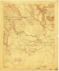
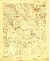
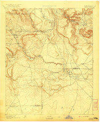
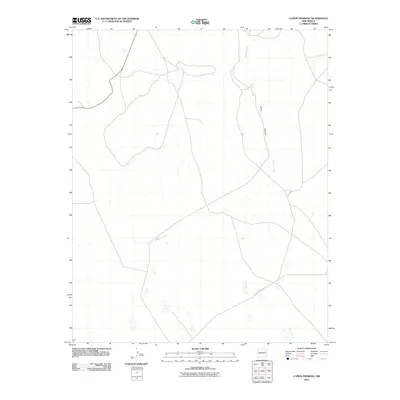
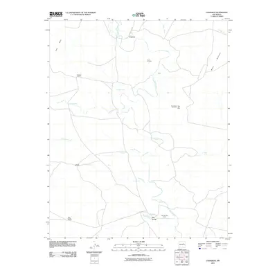
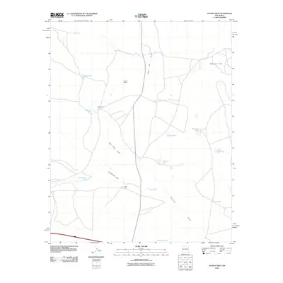
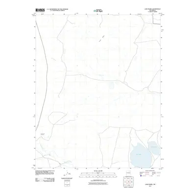
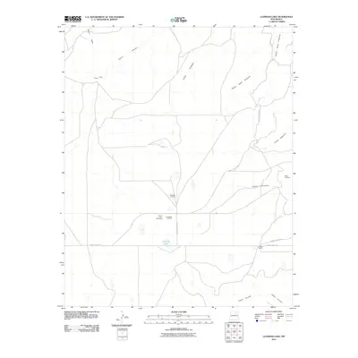
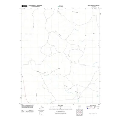
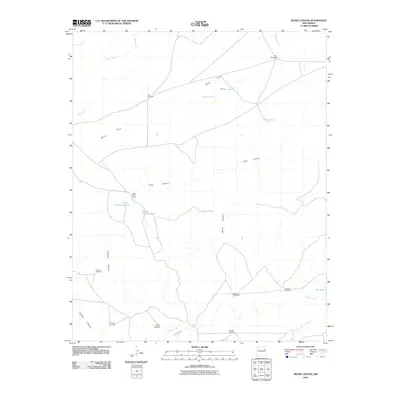
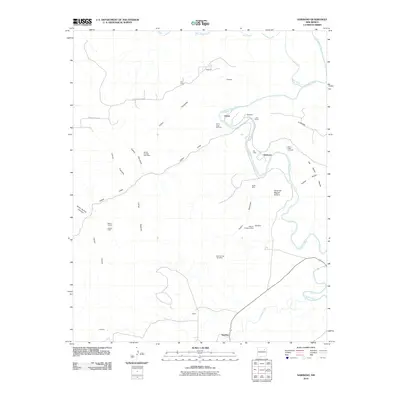
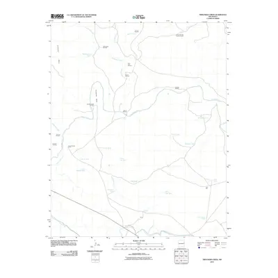
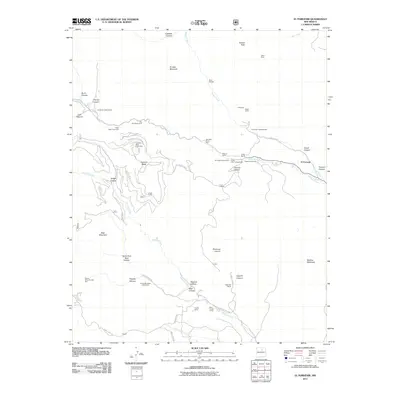
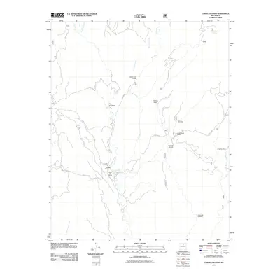
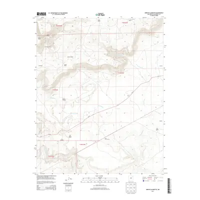
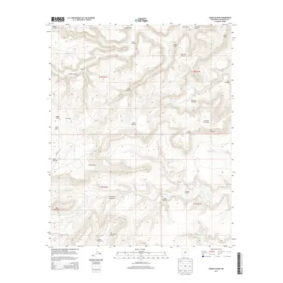
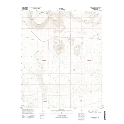
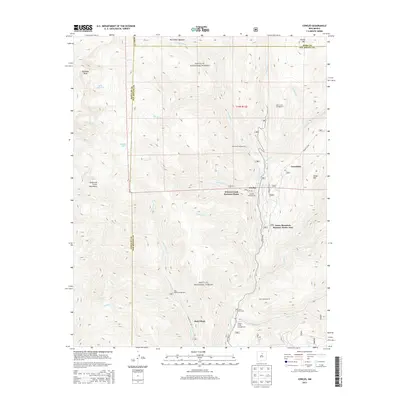
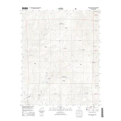
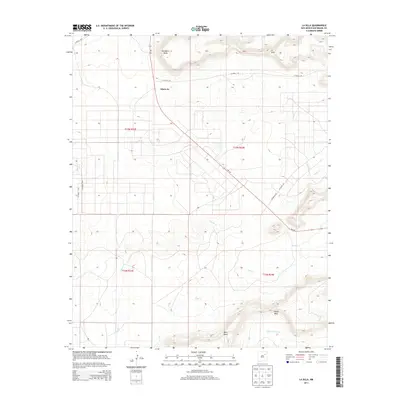
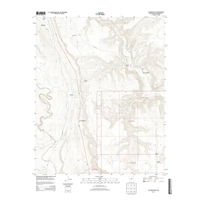
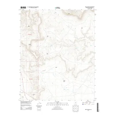
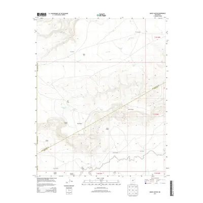
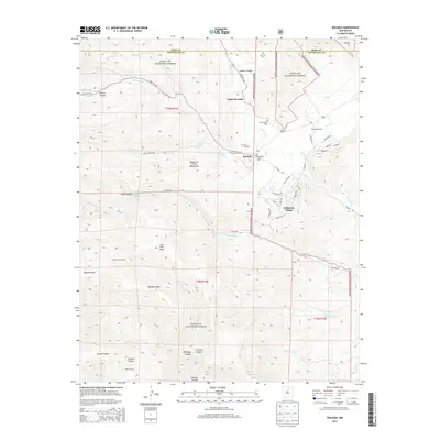
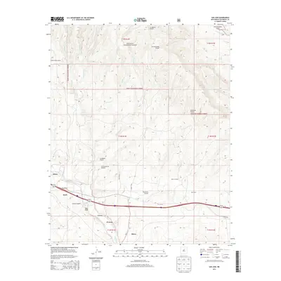
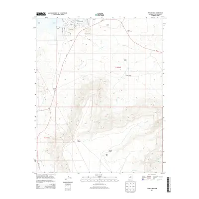
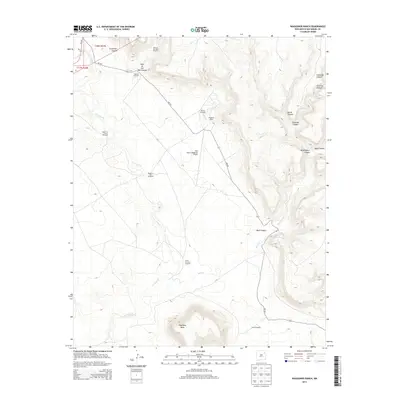
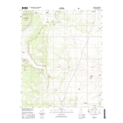
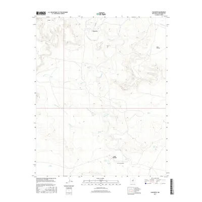
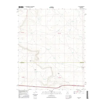
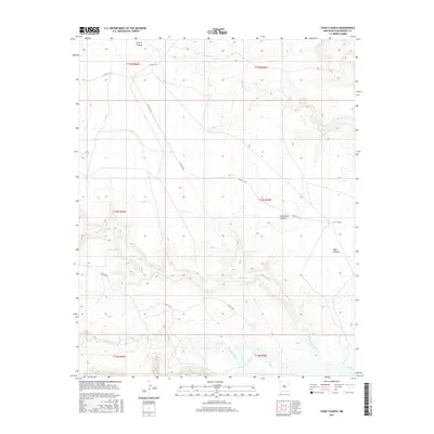
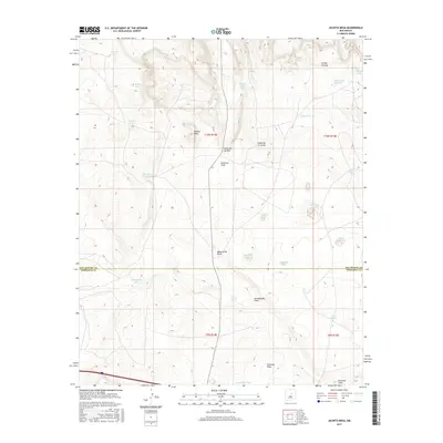
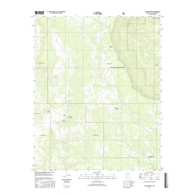
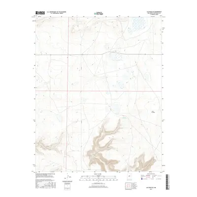
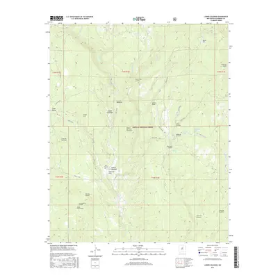
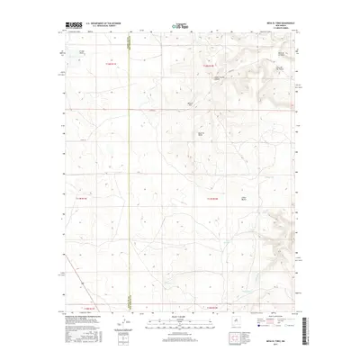
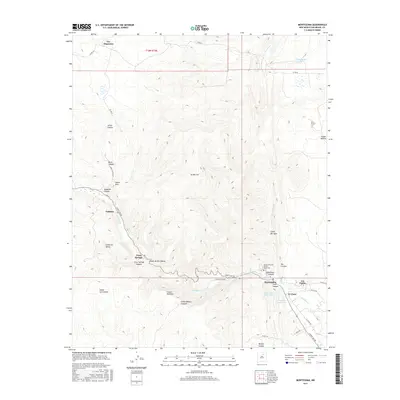
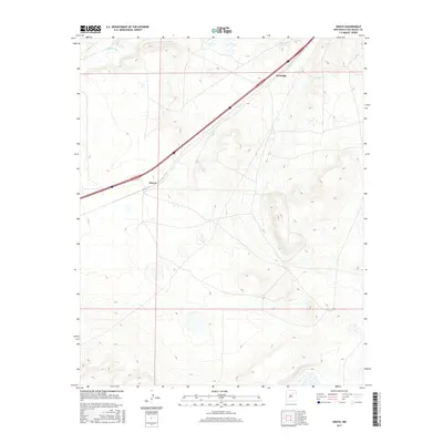
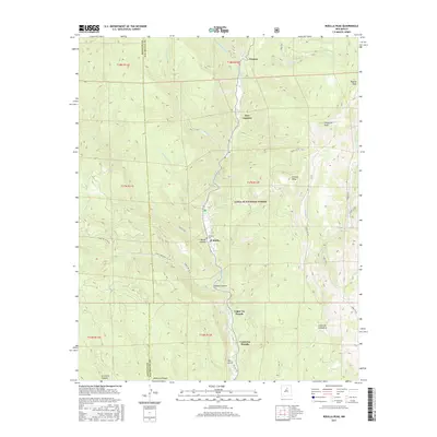
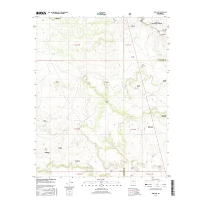
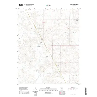
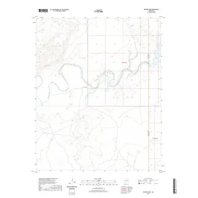
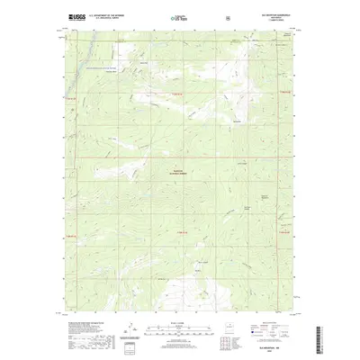
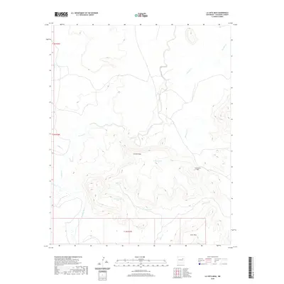
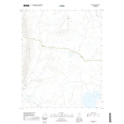
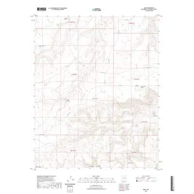
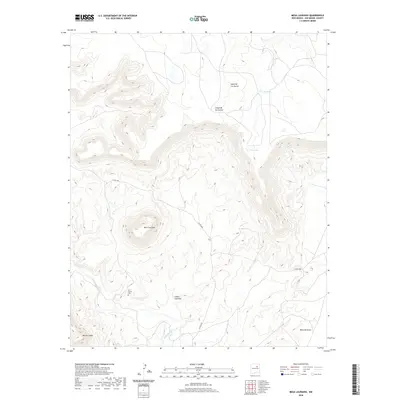
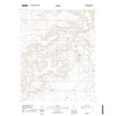
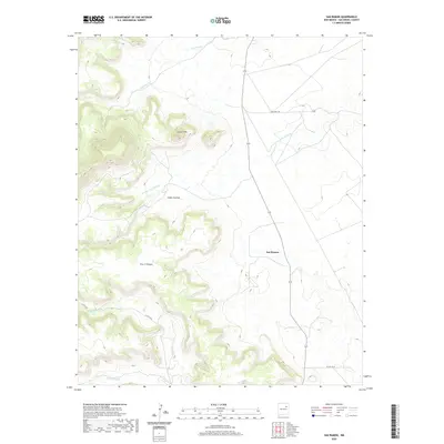
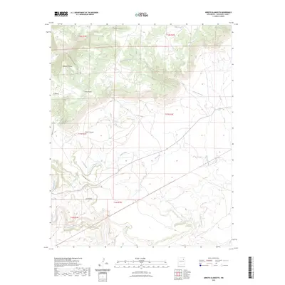
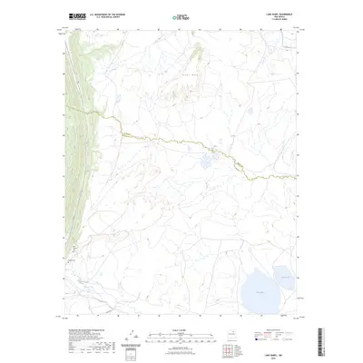
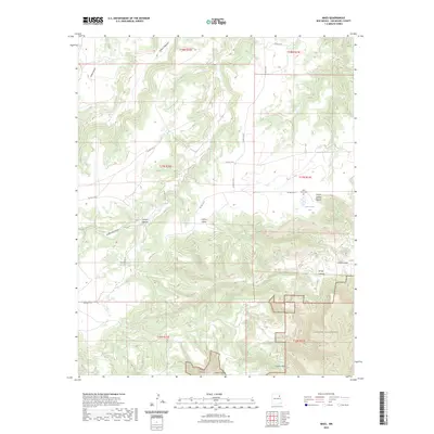
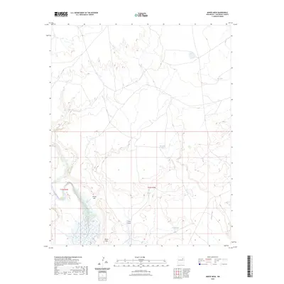
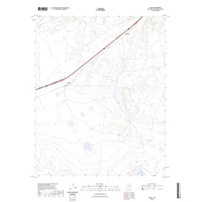
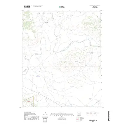
1894 Map of Bernal
USGS Topo · Published 1899About this map
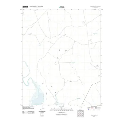
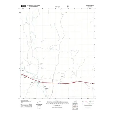
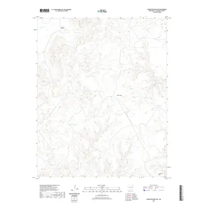
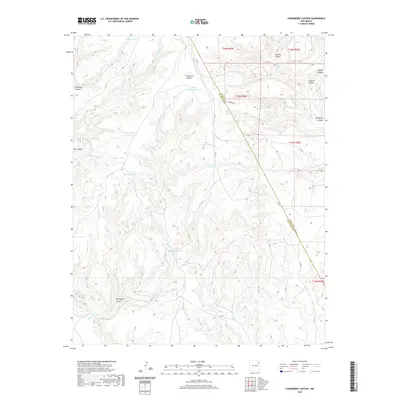
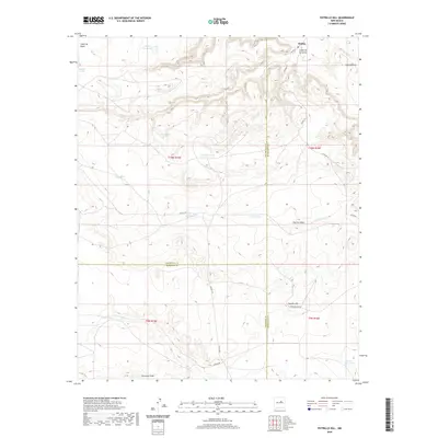
San Miguel and the high plains of the Pecos Valley appear here as they were during the late nineteenth-century rail expansion. The Atchison Topeka and Santa Fe Railroad cuts through the northern landscape, establishing vital connections at San Miguel Station and near the settlement of Bernal. The map reveals a transition in settlement patterns, capturing both the traditional plazas along the river and newer railroad-oriented locations, exemplified by the distinction between Old Bernal and its newer counterpart.
Find a feature on this map
31 named features on this map. Tap any name to fly to it.
Don’t see what you’re looking for? This feature index may not catch every label — zoom into the map to look around manually.
Map Details
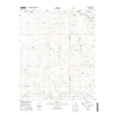
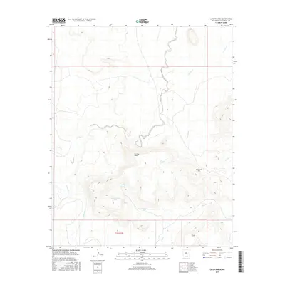
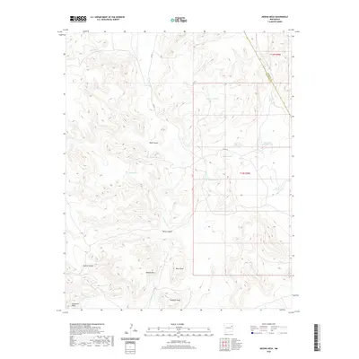
Editions of this 1894 Bernal Map
4 editions found
Historical Maps of Upper Dilia Through Time
449 maps found

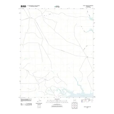
1890 Bernal
San Miguel County, NM

1891 Bernal
San Miguel County, NM

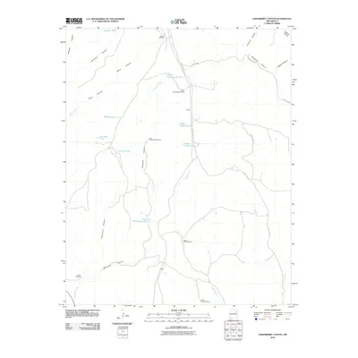
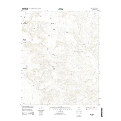
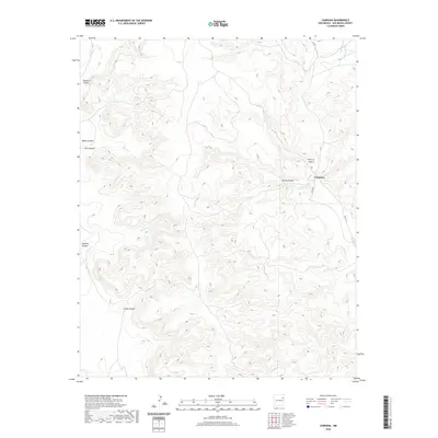
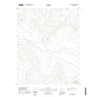
1892 Corazon
San Miguel County, NM

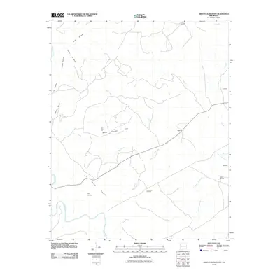
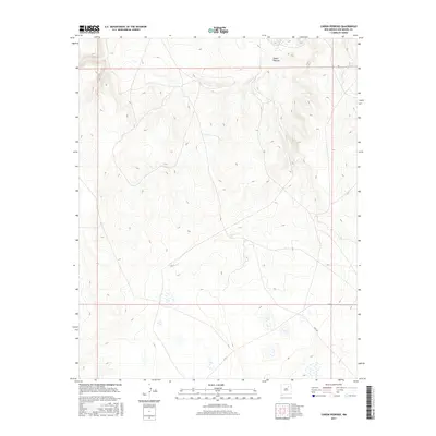
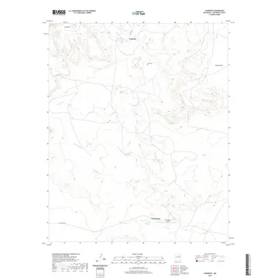
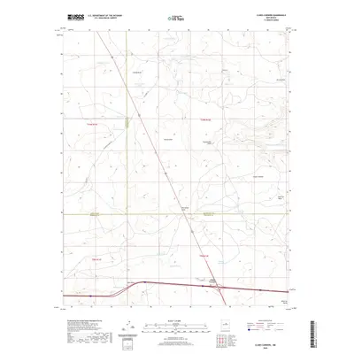
1894 Bernal
San Miguel County, NM

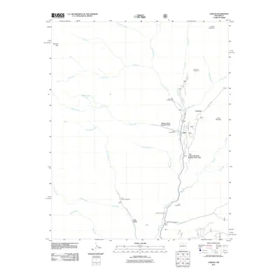
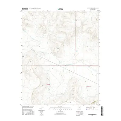
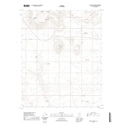
1894 Corazon
San Miguel County, NM

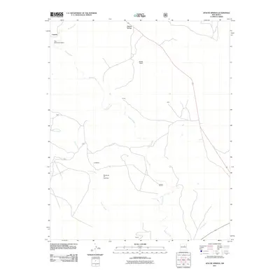
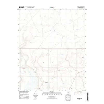
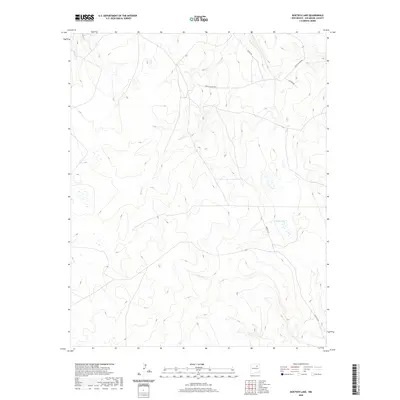
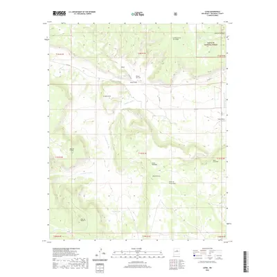
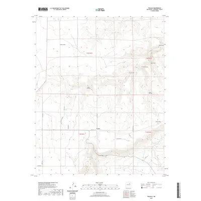
1960 Apache Springs
San Miguel County, NM

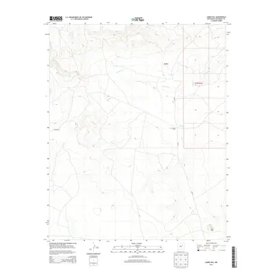
1961 Cowles
San Miguel County, NM

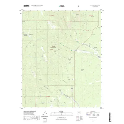
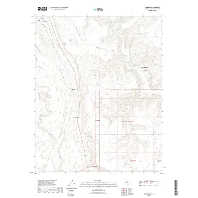
1961 El Porvenir
San Miguel County, NM

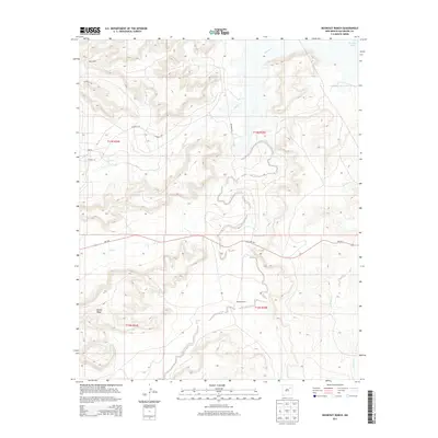
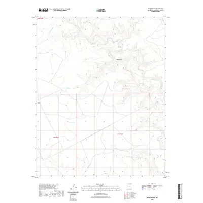
1961 Honey Boy Ranch
San Miguel County, NM

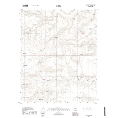
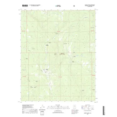
1961 Lower Colonias
San Miguel County, NM

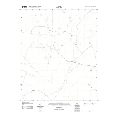
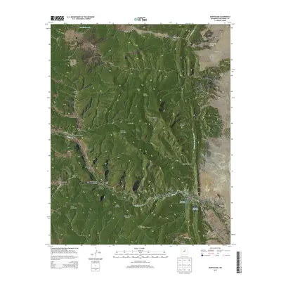
1961 Montezuma
San Miguel County, NM

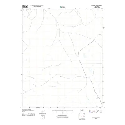
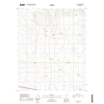
1961 Ojitos Frios
San Miguel County, NM

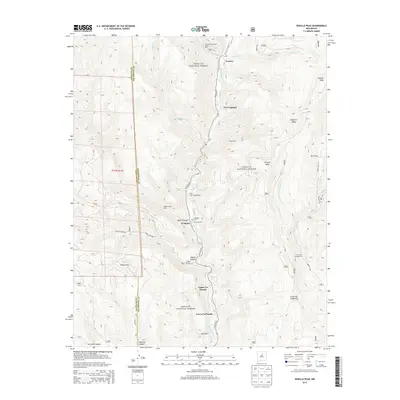
1961 Rosilla Peak
San Miguel County, NM

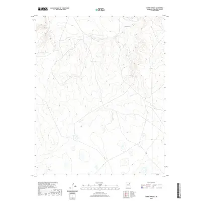
1961 San Geronimo
San Miguel County, NM

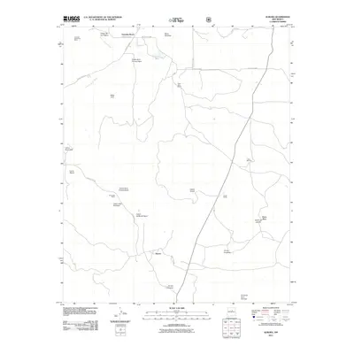
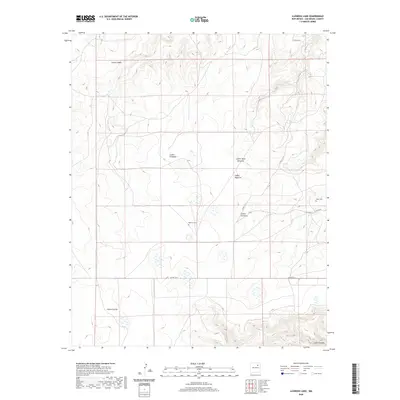
1963 Aurora
San Miguel County, NM

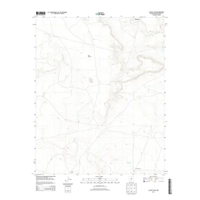
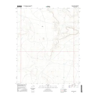
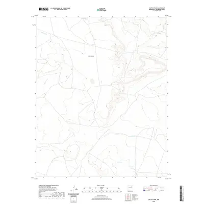
1963 Cactus Tank
San Miguel County, NM

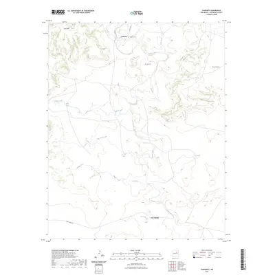
1963 Chaperito
San Miguel County, NM

1963 Elk Mountain
San Miguel County, NM

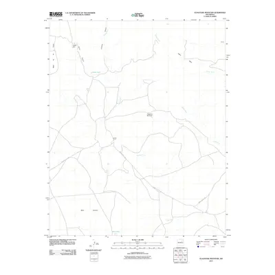
1963 Flagstone Mountain
San Miguel County, NM

1963 Jacinto Mesa
San Miguel County, NM

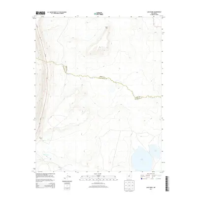
1963 Lake Isabel
San Miguel County, NM

1963 Las Vegas NW
San Miguel County, NM

1963 Las Vegas SE
San Miguel County, NM

1963 Mesa Lauriano
San Miguel County, NM

1963 Onava
San Miguel County, NM

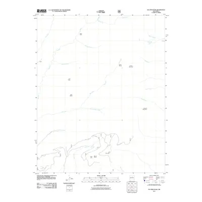
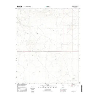
1963 Potrillo Hill
San Miguel County, NM

1963 San Juan
San Miguel County, NM

1964 Muniz Canyon
San Miguel County, NM

1965 Rociada
San Miguel County, NM

1965 Sapello
San Miguel County, NM

1966 Clines Corners
San Miguel County, NM

1966 El Cabo
San Miguel County, NM

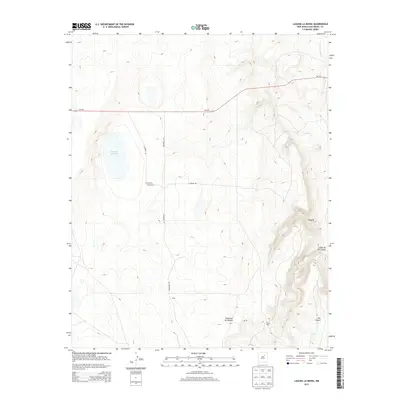
1966 Laguna Ortiz
San Miguel County, NM

1966 Leyba
San Miguel County, NM

1966 Mesa El Toro
San Miguel County, NM

1966 Rencona
San Miguel County, NM

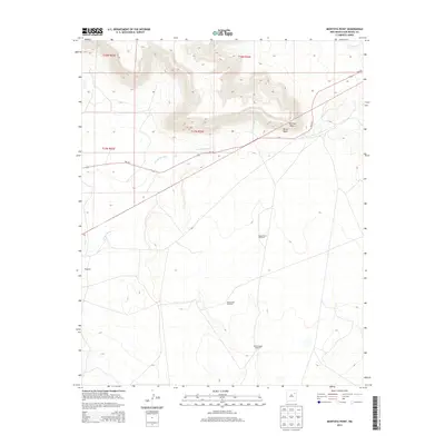
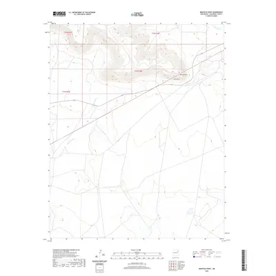
1967 Monument Point
San Miguel County, NM

1967 Tenaja Mesa
San Miguel County, NM

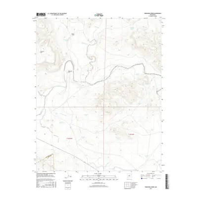
1967 Trinchera Creek
San Miguel County, NM

1968 Bascom Camp
San Miguel County, NM

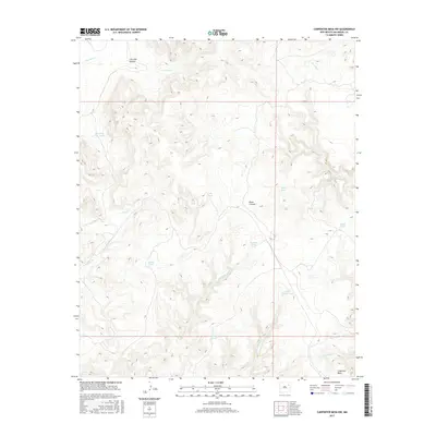
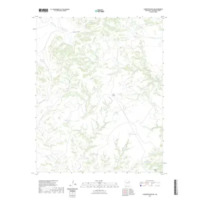
1968 Carpenter Mesa NW
San Miguel County, NM

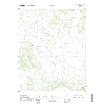
1968 Carpenter Mesa SW
San Miguel County, NM

1968 Hampton Ranch
San Miguel County, NM

1968 La Cinta Mesa
San Miguel County, NM

1968 Medina Mesa
San Miguel County, NM

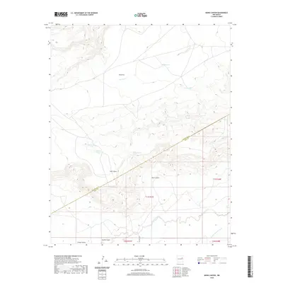
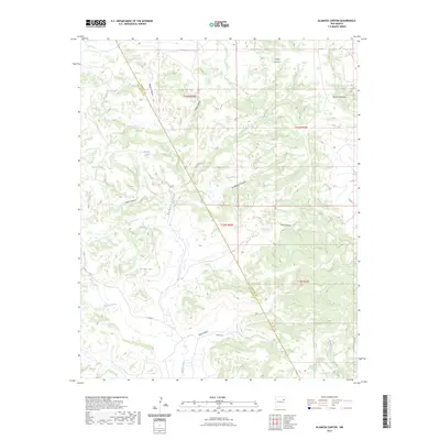
1969 Alamosa Canyon
San Miguel County, NM

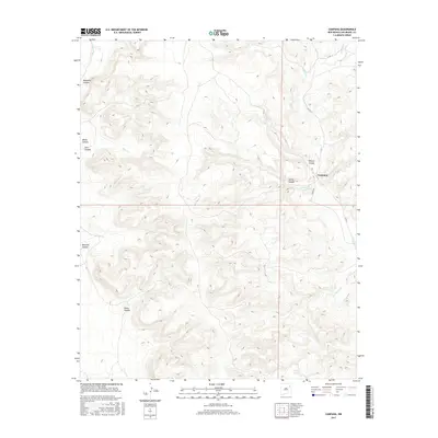
1969 Campana
San Miguel County, NM

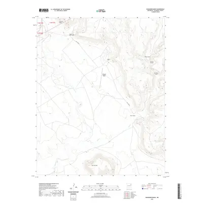
1969 Chinaberry Canyon
San Miguel County, NM

1971 Canon Olguin
San Miguel County, NM

1971 Canon Pedroso
San Miguel County, NM

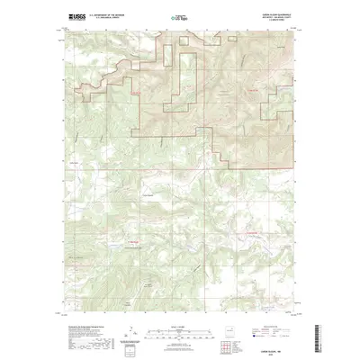
1971 Goetsch Lake
San Miguel County, NM

1971 Laguna Huerfana
San Miguel County, NM

1971 Laguna La Monia
San Miguel County, NM

1971 Trujillo
San Miguel County, NM

1972 Arroyo Alamocito
San Miguel County, NM

1972 Bell Ranch
San Miguel County, NM

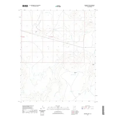
1972 Bookout Ranch
San Miguel County, NM

1972 Cabra Hill
San Miguel County, NM

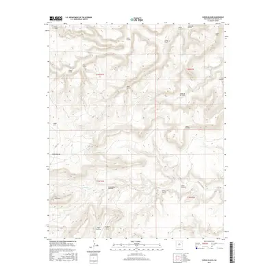
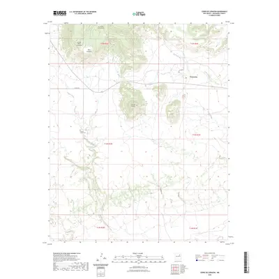
1972 Cerro De Corazon
San Miguel County, NM

1972 Four V Ranch
San Miguel County, NM

1972 La Silla
San Miguel County, NM

1972 Llonidas Lake
San Miguel County, NM

1972 Maes
San Miguel County, NM

1972 Mesa Pino
San Miguel County, NM

1972 Minese Mesa
San Miguel County, NM

1972 Montoya Point
San Miguel County, NM

1972 Punta Del Chorro
San Miguel County, NM

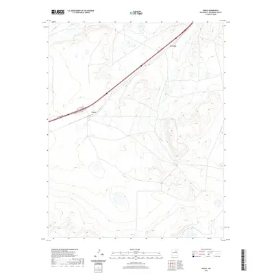
1972 Sabinoso
San Miguel County, NM

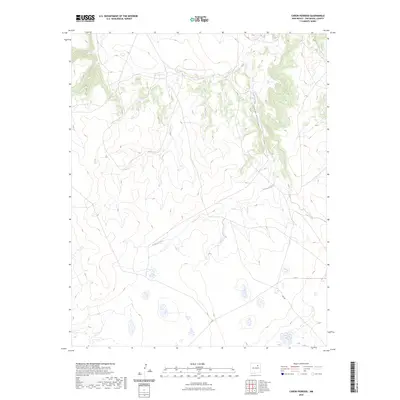
1972 San Ramon
San Miguel County, NM

1972 Variadero
San Miguel County, NM

1972 Wade Canyon
San Miguel County, NM

1972 Waggoner Ranch
San Miguel County, NM

1989 La Liendre
San Miguel County, NM

1989 Los Montoyas
San Miguel County, NM

1989 Mesa Chupinas
San Miguel County, NM

1989 San Jose
San Miguel County, NM

2002 Apache Springs
San Miguel County, NM

2002 Aurora
San Miguel County, NM

2002 Cowles
San Miguel County, NM

2002 Elk Mountain
San Miguel County, NM

2002 El Porvenir
San Miguel County, NM

2002 Honey Boy Ranch
San Miguel County, NM

2002 Laguna Ortiz
San Miguel County, NM

2002 Leyba
San Miguel County, NM

2002 Lower Colonias
San Miguel County, NM

2002 Montezuma
San Miguel County, NM

2002 Ojitos Frios
San Miguel County, NM

2002 Rencona
San Miguel County, NM

2002 Rociada
San Miguel County, NM

2002 Rosilla Peak
San Miguel County, NM

2002 San Geronimo
San Miguel County, NM

2002 San Jose
San Miguel County, NM

2002 San Juan
San Miguel County, NM

2002 Sapello
San Miguel County, NM
2010 Alamosa Canyon
San Miguel County, NM
2010 Arroyo Alamocito
San Miguel County, NM
2010 Bascom Camp
San Miguel County, NM
2010 Bell Ranch
San Miguel County, NM
2010 Bookout Ranch
San Miguel County, NM
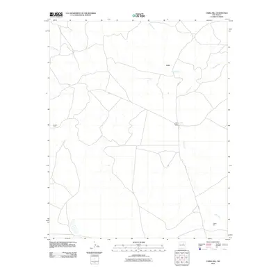
2010 Cabra Hill
San Miguel County, NM
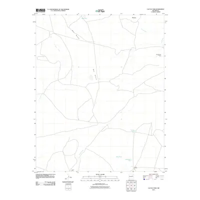
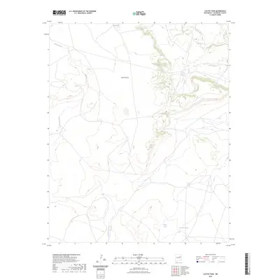
2010 Cactus Tank
San Miguel County, NM
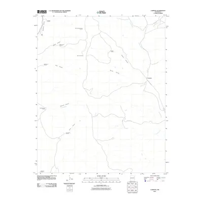
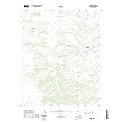
2010 Campana
San Miguel County, NM
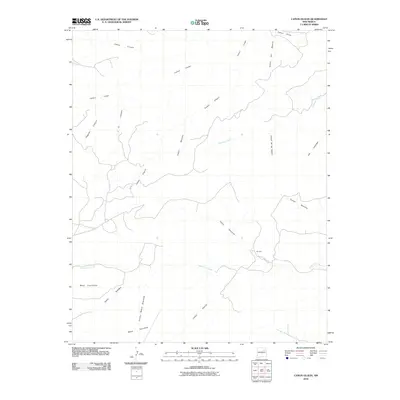
2010 Canon Olguin
San Miguel County, NM
2010 Canon Pedroso
San Miguel County, NM
2010 Carpenter Mesa NW
San Miguel County, NM
2010 Carpenter Mesa SW
San Miguel County, NM
2010 Cerro De Corazon
San Miguel County, NM
2010 Chaperito
San Miguel County, NM
2010 Chinaberry Canyon
San Miguel County, NM
2010 Clines Corners
San Miguel County, NM
2010 El Cabo
San Miguel County, NM
2010 Flagstone Mountain
San Miguel County, NM
2010 Four V Ranch
San Miguel County, NM
2010 Goetsch Lake
San Miguel County, NM
2010 Hampton Ranch
San Miguel County, NM
2010 Jacinto Mesa
San Miguel County, NM
2010 La Cinta Mesa
San Miguel County, NM
2010 Laguna Huerfana
San Miguel County, NM
2010 Laguna La Monia
San Miguel County, NM
2010 Lake Isabel
San Miguel County, NM
2010 La Liendre
San Miguel County, NM
2010 La Silla
San Miguel County, NM

2010 Las Vegas NW
San Miguel County, NM
2010 Las Vegas SE
San Miguel County, NM
2010 Llonidas Lake
San Miguel County, NM
2010 Los Montoyas
San Miguel County, NM
2010 Maes
San Miguel County, NM
2010 Medina Mesa
San Miguel County, NM
2010 Mesa Chupinas
San Miguel County, NM
2010 Mesa El Toro
San Miguel County, NM
2010 Mesa Lauriano
San Miguel County, NM
2010 Mesa Pino
San Miguel County, NM
2010 Minese Mesa
San Miguel County, NM
2010 Montezuma
San Miguel County, NM
2010 Montoya Point
San Miguel County, NM
2010 Monument Point
San Miguel County, NM
2010 Muniz Canyon
San Miguel County, NM

2010 Ojitos Frios
San Miguel County, NM
2010 Onava
San Miguel County, NM
2010 Potrillo Hill
San Miguel County, NM
2010 Punta Del Chorro
San Miguel County, NM
2010 Sabinoso
San Miguel County, NM
2010 San Ramon
San Miguel County, NM
2010 Sapello
San Miguel County, NM
2010 Tenaja Mesa
San Miguel County, NM
2010 Trinchera Creek
San Miguel County, NM
2010 Trujillo
San Miguel County, NM

2010 Variadero
San Miguel County, NM
2010 Wade Canyon
San Miguel County, NM
2010 Waggoner Ranch
San Miguel County, NM
2011 Apache Springs
San Miguel County, NM
2011 Aurora
San Miguel County, NM
2011 Cowles
San Miguel County, NM
2011 Elk Mountain
San Miguel County, NM
2011 El Porvenir
San Miguel County, NM
2011 Honey Boy Ranch
San Miguel County, NM
2011 Laguna Ortiz
San Miguel County, NM
2011 Leyba
San Miguel County, NM
2011 Lower Colonias
San Miguel County, NM

2011 Rencona
San Miguel County, NM
2011 Rociada
San Miguel County, NM
2011 Rosilla Peak
San Miguel County, NM
2011 San Geronimo
San Miguel County, NM
2011 San Jose
San Miguel County, NM
2011 San Juan
San Miguel County, NM
2013 Alamosa Canyon
San Miguel County, NM
2013 Apache Springs
San Miguel County, NM
2013 Arroyo Alamocito
San Miguel County, NM
2013 Aurora
San Miguel County, NM
2013 Bascom Camp
San Miguel County, NM
2013 Bell Ranch
San Miguel County, NM
2013 Bookout Ranch
San Miguel County, NM
2013 Cabra Hill
San Miguel County, NM
2013 Cactus Tank
San Miguel County, NM
2013 Campana
San Miguel County, NM
2013 Canon Olguin
San Miguel County, NM
2013 Canon Pedroso
San Miguel County, NM
2013 Carpenter Mesa NW
San Miguel County, NM
2013 Carpenter Mesa SW
San Miguel County, NM
2013 Cerro De Corazon
San Miguel County, NM
2013 Chaperito
San Miguel County, NM
2013 Chinaberry Canyon
San Miguel County, NM
2013 Clines Corners
San Miguel County, NM
2013 Cowles
San Miguel County, NM
2013 El Cabo
San Miguel County, NM
2013 Elk Mountain
San Miguel County, NM
2013 El Porvenir
San Miguel County, NM
2013 Flagstone Mountain
San Miguel County, NM
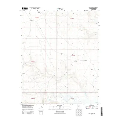
2013 Four V Ranch
San Miguel County, NM
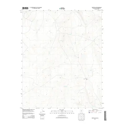
2013 Goetsch Lake
San Miguel County, NM
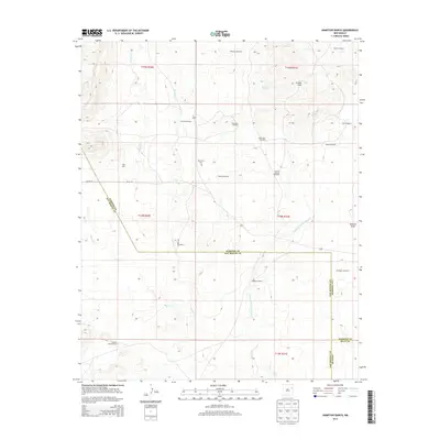
2013 Hampton Ranch
San Miguel County, NM
2013 Honey Boy Ranch
San Miguel County, NM
2013 Jacinto Mesa
San Miguel County, NM
2013 La Cinta Mesa
San Miguel County, NM
2013 Laguna Huerfana
San Miguel County, NM
2013 Laguna La Monia
San Miguel County, NM
2013 Laguna Ortiz
San Miguel County, NM
2013 Lake Isabel
San Miguel County, NM
2013 La Liendre
San Miguel County, NM
2013 La Silla
San Miguel County, NM

2013 Las Vegas NW
San Miguel County, NM
2013 Las Vegas SE
San Miguel County, NM
2013 Leyba
San Miguel County, NM
2013 Llonidas Lake
San Miguel County, NM
2013 Los Montoyas
San Miguel County, NM
2013 Lower Colonias
San Miguel County, NM
2013 Maes
San Miguel County, NM
2013 Medina Mesa
San Miguel County, NM
2013 Mesa Chupinas
San Miguel County, NM
2013 Mesa El Toro
San Miguel County, NM
2013 Mesa Lauriano
San Miguel County, NM
2013 Mesa Pino
San Miguel County, NM
2013 Minese Mesa
San Miguel County, NM
2013 Montezuma
San Miguel County, NM
2013 Montoya Point
San Miguel County, NM
2013 Monument Point
San Miguel County, NM
2013 Muniz Canyon
San Miguel County, NM

2013 Ojitos Frios
San Miguel County, NM
2013 Onava
San Miguel County, NM
2013 Potrillo Hill
San Miguel County, NM
2013 Punta Del Chorro
San Miguel County, NM

2013 Rencona
San Miguel County, NM
2013 Rociada
San Miguel County, NM
2013 Rosilla Peak
San Miguel County, NM
2013 Sabinoso
San Miguel County, NM
2013 San Geronimo
San Miguel County, NM
2013 San Jose
San Miguel County, NM
2013 San Juan
San Miguel County, NM
2013 San Ramon
San Miguel County, NM
2013 Sapello
San Miguel County, NM
2013 Tenaja Mesa
San Miguel County, NM
2013 Trinchera Creek
San Miguel County, NM
2013 Trujillo
San Miguel County, NM

2013 Variadero
San Miguel County, NM
2013 Wade Canyon
San Miguel County, NM
2013 Waggoner Ranch
San Miguel County, NM
2017 Alamosa Canyon
San Miguel County, NM
2017 Apache Springs
San Miguel County, NM
2017 Arroyo Alamocito
San Miguel County, NM
2017 Aurora
San Miguel County, NM
2017 Bascom Camp
San Miguel County, NM
2017 Bell Ranch
San Miguel County, NM
2017 Bookout Ranch
San Miguel County, NM
2017 Cabra Hill
San Miguel County, NM
2017 Cactus Tank
San Miguel County, NM
2017 Campana
San Miguel County, NM
2017 Canon Olguin
San Miguel County, NM
2017 Canon Pedroso
San Miguel County, NM
2017 Carpenter Mesa NW
San Miguel County, NM
2017 Carpenter Mesa SW
San Miguel County, NM
2017 Cerro De Corazon
San Miguel County, NM
2017 Chaperito
San Miguel County, NM
2017 Chinaberry Canyon
San Miguel County, NM
2017 Clines Corners
San Miguel County, NM
2017 Cowles
San Miguel County, NM
2017 El Cabo
San Miguel County, NM
2017 Elk Mountain
San Miguel County, NM
2017 El Porvenir
San Miguel County, NM
2017 Flagstone Mountain
San Miguel County, NM
2017 Four V Ranch
San Miguel County, NM
2017 Goetsch Lake
San Miguel County, NM
2017 Hampton Ranch
San Miguel County, NM
2017 Honey Boy Ranch
San Miguel County, NM
2017 Jacinto Mesa
San Miguel County, NM
2017 La Cinta Mesa
San Miguel County, NM
2017 Laguna Huerfana
San Miguel County, NM
2017 Laguna La Monia
San Miguel County, NM
2017 Laguna Ortiz
San Miguel County, NM
2017 Lake Isabel
San Miguel County, NM
2017 La Liendre
San Miguel County, NM
2017 La Silla
San Miguel County, NM

2017 Las Vegas NW
San Miguel County, NM
2017 Las Vegas SE
San Miguel County, NM
2017 Leyba
San Miguel County, NM
2017 Llonidas Lake
San Miguel County, NM
2017 Los Montoyas
San Miguel County, NM
2017 Lower Colonias
San Miguel County, NM
2017 Maes
San Miguel County, NM
2017 Medina Mesa
San Miguel County, NM
2017 Mesa Chupinas
San Miguel County, NM
2017 Mesa El Toro
San Miguel County, NM
2017 Mesa Lauriano
San Miguel County, NM
2017 Mesa Pino
San Miguel County, NM
2017 Minese Mesa
San Miguel County, NM
2017 Montezuma
San Miguel County, NM
2017 Montoya Point
San Miguel County, NM
2017 Monument Point
San Miguel County, NM
2017 Muniz Canyon
San Miguel County, NM

2017 Ojitos Frios
San Miguel County, NM
2017 Onava
San Miguel County, NM
2017 Potrillo Hill
San Miguel County, NM
2017 Punta Del Chorro
San Miguel County, NM

2017 Rencona
San Miguel County, NM
2017 Rociada
San Miguel County, NM
2017 Rosilla Peak
San Miguel County, NM
2017 Sabinoso
San Miguel County, NM
2017 San Geronimo
San Miguel County, NM
2017 San Jose
San Miguel County, NM
2017 San Juan
San Miguel County, NM
2017 San Ramon
San Miguel County, NM
2017 Sapello
San Miguel County, NM
2017 Tenaja Mesa
San Miguel County, NM
2017 Trinchera Creek
San Miguel County, NM
2017 Trujillo
San Miguel County, NM

2017 Variadero
San Miguel County, NM
2017 Wade Canyon
San Miguel County, NM
2017 Waggoner Ranch
San Miguel County, NM
2020 Alamosa Canyon
San Miguel County, NM
2020 Apache Springs
San Miguel County, NM
2020 Arroyo Alamocito
San Miguel County, NM
2020 Aurora
San Miguel County, NM
2020 Bascom Camp
San Miguel County, NM
2020 Bell Ranch
San Miguel County, NM
2020 Bookout Ranch
San Miguel County, NM
2020 Cabra Hill
San Miguel County, NM
2020 Cactus Tank
San Miguel County, NM
2020 Campana
San Miguel County, NM
2020 Canon Olguin
San Miguel County, NM
2020 Canon Pedroso
San Miguel County, NM
2020 Carpenter Mesa NW
San Miguel County, NM
2020 Carpenter Mesa SW
San Miguel County, NM
2020 Cerro De Corazon
San Miguel County, NM
2020 Chaperito
San Miguel County, NM
2020 Chinaberry Canyon
San Miguel County, NM
2020 Clines Corners
San Miguel County, NM
2020 Cowles
San Miguel County, NM
2020 El Cabo
San Miguel County, NM
2020 Elk Mountain
San Miguel County, NM
2020 El Porvenir
San Miguel County, NM
2020 Flagstone Mountain
San Miguel County, NM
2020 Four V Ranch
San Miguel County, NM
2020 Goetsch Lake
San Miguel County, NM
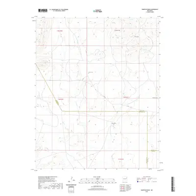
2020 Hampton Ranch
San Miguel County, NM
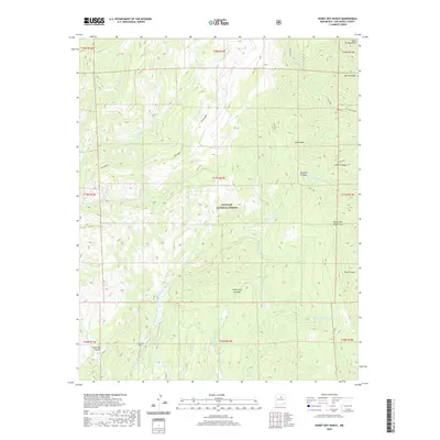
2020 Honey Boy Ranch
San Miguel County, NM
2020 Jacinto Mesa
San Miguel County, NM
2020 La Cinta Mesa
San Miguel County, NM
2020 Laguna Huerfana
San Miguel County, NM
2020 Laguna La Monia
San Miguel County, NM
2020 Laguna Ortiz
San Miguel County, NM
2020 Lake Isabel
San Miguel County, NM
2020 La Liendre
San Miguel County, NM
2020 La Silla
San Miguel County, NM

2020 Las Vegas NW
San Miguel County, NM
2020 Las Vegas SE
San Miguel County, NM
2020 Leyba
San Miguel County, NM
2020 Llonidas Lake
San Miguel County, NM
2020 Los Montoyas
San Miguel County, NM
2020 Lower Colonias
San Miguel County, NM
2020 Maes
San Miguel County, NM
2020 Medina Mesa
San Miguel County, NM
2020 Mesa Chupinas
San Miguel County, NM
2020 Mesa El Toro
San Miguel County, NM
2020 Mesa Lauriano
San Miguel County, NM
2020 Mesa Pino
San Miguel County, NM
2020 Minese Mesa
San Miguel County, NM
2020 Montezuma
San Miguel County, NM
2020 Montoya Point
San Miguel County, NM
2020 Monument Point
San Miguel County, NM
2020 Muniz Canyon
San Miguel County, NM

2020 Ojitos Frios
San Miguel County, NM
2020 Onava
San Miguel County, NM
2020 Potrillo Hill
San Miguel County, NM
2020 Punta Del Chorro
San Miguel County, NM

2020 Rencona
San Miguel County, NM
2020 Rociada
San Miguel County, NM
2020 Rosilla Peak
San Miguel County, NM
2020 Sabinoso
San Miguel County, NM
2020 San Geronimo
San Miguel County, NM
2020 San Jose
San Miguel County, NM
2020 San Juan
San Miguel County, NM
2020 San Ramon
San Miguel County, NM
2020 Sapello
San Miguel County, NM
2020 Tenaja Mesa
San Miguel County, NM
2020 Trinchera Creek
San Miguel County, NM
2020 Trujillo
San Miguel County, NM

2020 Variadero
San Miguel County, NM
2020 Wade Canyon
San Miguel County, NM
2020 Waggoner Ranch
San Miguel County, NM
2023 Alamosa Canyon
San Miguel County, NM

2023 Apache Springs
San Miguel County, NM
2023 Arroyo Alamocito
San Miguel County, NM

2023 Aurora
San Miguel County, NM
2023 Bascom Camp
San Miguel County, NM

2023 Bell Ranch
San Miguel County, NM
2023 Bookout Ranch
San Miguel County, NM
2023 Cabra Hill
San Miguel County, NM
2023 Cactus Tank
San Miguel County, NM
2023 Campana
San Miguel County, NM
2023 Canon Olguin
San Miguel County, NM
2023 Canon Pedroso
San Miguel County, NM
2023 Carpenter Mesa NW
San Miguel County, NM
2023 Carpenter Mesa SW
San Miguel County, NM
2023 Cerro De Corazon
San Miguel County, NM
2023 Chaperito
San Miguel County, NM
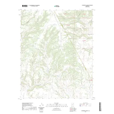
2023 Chinaberry Canyon
San Miguel County, NM
2023 Clines Corners
San Miguel County, NM

2023 Cowles
San Miguel County, NM

2023 El Cabo
San Miguel County, NM

2023 Elk Mountain
San Miguel County, NM

2023 El Porvenir
San Miguel County, NM
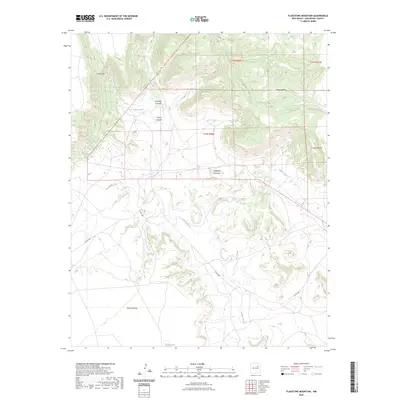
2023 Flagstone Mountain
San Miguel County, NM
2023 Four V Ranch
San Miguel County, NM

2023 Goetsch Lake
San Miguel County, NM
2023 Hampton Ranch
San Miguel County, NM

2023 Honey Boy Ranch
San Miguel County, NM

2023 Jacinto Mesa
San Miguel County, NM
2023 La Cinta Mesa
San Miguel County, NM
2023 Laguna Huerfana
San Miguel County, NM
2023 Laguna La Monia
San Miguel County, NM

2023 Laguna Ortiz
San Miguel County, NM
2023 Lake Isabel
San Miguel County, NM
2023 La Liendre
San Miguel County, NM
2023 La Silla
San Miguel County, NM

2023 Las Vegas NW
San Miguel County, NM

2023 Las Vegas SE
San Miguel County, NM

2023 Leyba
San Miguel County, NM
2023 Llonidas Lake
San Miguel County, NM

2023 Los Montoyas
San Miguel County, NM

2023 Lower Colonias
San Miguel County, NM
2023 Maes
San Miguel County, NM
2023 Medina Mesa
San Miguel County, NM

2023 Mesa Chupinas
San Miguel County, NM

2023 Mesa El Toro
San Miguel County, NM
2023 Mesa Lauriano
San Miguel County, NM
2023 Mesa Pino
San Miguel County, NM
2023 Minese Mesa
San Miguel County, NM

2023 Montezuma
San Miguel County, NM
2023 Montoya Point
San Miguel County, NM
2023 Monument Point
San Miguel County, NM
2023 Muniz Canyon
San Miguel County, NM

2023 Ojitos Frios
San Miguel County, NM
2023 Onava
San Miguel County, NM

2023 Potrillo Hill
San Miguel County, NM
2023 Punta Del Chorro
San Miguel County, NM

2023 Rencona
San Miguel County, NM

2023 Rociada
San Miguel County, NM

2023 Rosilla Peak
San Miguel County, NM
2023 Sabinoso
San Miguel County, NM

2023 San Geronimo
San Miguel County, NM

2023 San Jose
San Miguel County, NM

2023 San Juan
San Miguel County, NM

2023 San Ramon
San Miguel County, NM

2023 Sapello
San Miguel County, NM
2023 Tenaja Mesa
San Miguel County, NM
2023 Trinchera Creek
San Miguel County, NM
2023 Trujillo
San Miguel County, NM

2023 Variadero
San Miguel County, NM
2023 Wade Canyon
San Miguel County, NM
2023 Waggoner Ranch
San Miguel County, NM