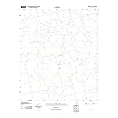
2010 Map of Bernecker
USGS Topo · Published 2010About this map
Claytonville and the small settlement of Bernecker anchor this section of Fisher County, showing a rural landscape defined by ranching and intermittent watercourses. The local terrain is marked by the prominence of Round Mountain, situated just south of the Round Mountain Cemetery. This area is carved by several drainages, including the winding paths of Cottonwood Creek, Linn Creek, and Live Oak Creek, which dictate the placement of ranch properties like the Eighteen Ranch. The road network is a mixture of state-maintained routes such as FM 1606 and FM 611 and a dense grid of county roads, including Co RD 445 and Blackland Rd, which provide access to remote acreage and historical family lands. This 2010 survey by the U.S. Geological Survey details the land use patterns and rural infrastructure in west-central Texas just after the first decade of the millennium.
Find a feature on this map
23 named features on this map. Tap any name to fly to it.
Don’t see what you’re looking for? This feature index may not catch every label — zoom into the map to look around manually.
Map Details
Editions of this 2010 Bernecker Map
This is the sole edition of this map. No revisions or reprints were ever made.
Other maps of this area

1893 · Roby
USGS Topo · 1:125,000

1893 · Sweetwater
USGS Topo · 1:125,000

1954 · Big Spring
USGS Topo · 1:250,000

1958 · Big Spring
USGS Topo · 1:250,000

1969 · Busby
USGS Topo · 1:24,000

1969 · Bull Creek
USGS Topo · 1:24,000

1969 · Inadale NW
USGS Topo · 1:24,000

1969 · Loraine
USGS Topo · 1:24,000

1969 · Bernecker
USGS Topo · 1:24,000

1969 · Roscoe
USGS Topo · 1:24,000