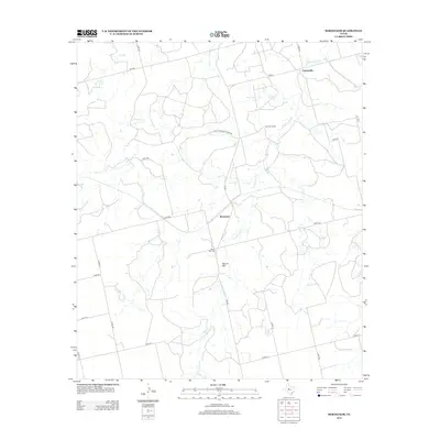
2012 Map of Bernecker
USGS Topo · Published 2012About this map
Claytonville and the small community of Bernecker define the settlement patterns of this West Texas landscape in the early 21st century. The terrain is characterized by the prominent elevation of Round Mtn, which serves as a central landmark for the surrounding ranching and agricultural operations. A network of local roads, including Farm-to-Market Road 608 and various county roads, connects the scattered homesteads and the Eighteen Ranch.
Find a feature on this map
28 named features on this map. Tap any name to fly to it.
Don’t see what you’re looking for? This feature index may not catch every label — zoom into the map to look around manually.
Map Details
Editions of this 2012 Bernecker Map
This is the sole edition of this map. No revisions or reprints were ever made.
Other maps of this area

1893 · Roby
USGS Topo · 1:125,000

1893 · Sweetwater
USGS Topo · 1:125,000

1954 · Big Spring
USGS Topo · 1:250,000

1958 · Big Spring
USGS Topo · 1:250,000

1969 · Busby
USGS Topo · 1:24,000

1969 · Bull Creek
USGS Topo · 1:24,000

1969 · Inadale NW
USGS Topo · 1:24,000

1969 · Loraine
USGS Topo · 1:24,000

1969 · Bernecker
USGS Topo · 1:24,000

1969 · Roscoe
USGS Topo · 1:24,000