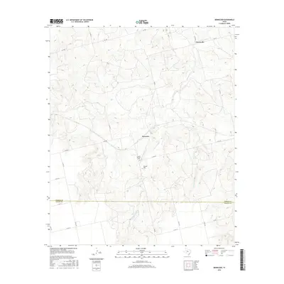
2016 Map of Bernecker
USGS Topo · Published 2016About this map
Claytonville and the small locality of Bernecker anchor this survey of the Texas Rolling Plains, where the terrain is defined by a network of drainage systems. The landscape is carved by Cottonwood Cr, Bull Cr, Linn Cr, and Live Oak Cr, reflecting a region dominated by ranching and rural infrastructure. A significant local landmark is Round Mountain, with its peak labeled Round Mtn and the nearby Round Mountain Cem serving as a vital point of interest for genealogists tracing family roots in this corner of the state. The map also delineates the jurisdictional boundary between Fisher Co and Nolan Co, intersected by a grid of county roads and state farm-to-market routes like FM 1606 and FM 608 that connect isolated homesteads and grazing lands.
Find a feature on this map
26 named features on this map. Tap any name to fly to it.
Don’t see what you’re looking for? This feature index may not catch every label — zoom into the map to look around manually.
Map Details
Editions of this 2016 Bernecker Map
This is the sole edition of this map. No revisions or reprints were ever made.
Other maps of this area

1893 · Roby
USGS Topo · 1:125,000

1893 · Sweetwater
USGS Topo · 1:125,000

1954 · Big Spring
USGS Topo · 1:250,000

1958 · Big Spring
USGS Topo · 1:250,000

1969 · Busby
USGS Topo · 1:24,000

1969 · Bull Creek
USGS Topo · 1:24,000

1969 · Inadale NW
USGS Topo · 1:24,000

1969 · Loraine
USGS Topo · 1:24,000

1969 · Bernecker
USGS Topo · 1:24,000

1969 · Roscoe
USGS Topo · 1:24,000