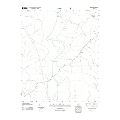
2011 Map of Berner
USGS Topo · Published 2011About this map
The Ocmulgee River winds through this central Georgia landscape, forming the primary geographic spine where the Towaliga River joins from the west. This river-dominated terrain is dotted with small, historic communities such as Gladesville, Berner, and Cork, each serving as local hubs in a landscape defined by forestry and rural tradition. The presence of specialized areas like the Ocmulgee Flats Hunt Camp and Gladesville Hunt Camp indicates the area's continued reliance on and relationship with the surrounding woodlands.
Find a feature on this map
55 named features on this map. Tap any name to fly to it.
Don’t see what you’re looking for? This feature index may not catch every label — zoom into the map to look around manually.
Map Details
Editions of this 2011 Berner Map
This is the sole edition of this map. No revisions or reprints were ever made.
Other maps of this area

1951 · Forsyth
USGS Topo · 1:62,500

1953 · Athens
USGS Topo · 1:250,000

1958 · Athens
USGS Topo · 1:250,000

1959 · Athens
USGS Topo · 1:250,000

1963 · Athens
USGS Topo · 1:250,000

1964 · Lloyd Shoals Dam
USGS Topo · 1:24,000
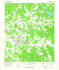
1964 · Jackson
USGS Topo · 1:24,000
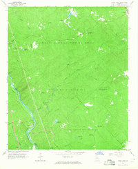
1964 · Dames Ferry
USGS Topo · 1:24,000

1964 · Hillsboro
USGS Topo · 1:24,000

1972 · Monticello
USGS Topo · 1:24,000