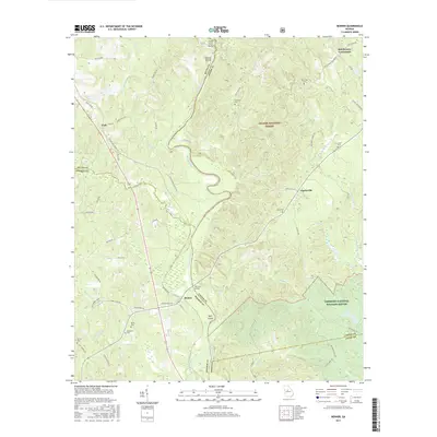
2017 Map of Berner
USGS Topo · Published 2017About this map
The Ocmulgee River winds through the center of this landscape, forming the natural boundary between Butts, Monroe, and Jasper counties. The settlement patterns reflect a quiet rural character, with clusters of family and community landmarks such as McElheneys Crossroads and the small hamlet of Berner. Much of the eastern portion is dedicated to conservation, split between the Oconee National Forest and the northern edge of the Piedmont National Wildlife Refuge. Numerous small burial grounds, including Holloway Cem, Greer Cem, and New Hope Cem, are tucked away near secondary roads, offering vital clues for genealogical research. The river itself is punctuated by islands like Nelson Island and Tyler Island, while several tributaries like Big Sandy Cr and White Cr drain the surrounding timberlands and hills.
Find a feature on this map
68 named features on this map. Tap any name to fly to it.
Don’t see what you’re looking for? This feature index may not catch every label — zoom into the map to look around manually.
Map Details
Editions of this 2017 Berner Map
This is the sole edition of this map. No revisions or reprints were ever made.
Other maps of this area

1951 · Forsyth
USGS Topo · 1:62,500

1953 · Athens
USGS Topo · 1:250,000

1958 · Athens
USGS Topo · 1:250,000

1959 · Athens
USGS Topo · 1:250,000

1963 · Athens
USGS Topo · 1:250,000

1964 · Lloyd Shoals Dam
USGS Topo · 1:24,000
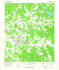
1964 · Jackson
USGS Topo · 1:24,000
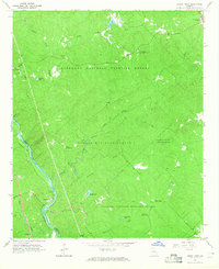
1964 · Dames Ferry
USGS Topo · 1:24,000

1964 · Hillsboro
USGS Topo · 1:24,000

1972 · Monticello
USGS Topo · 1:24,000