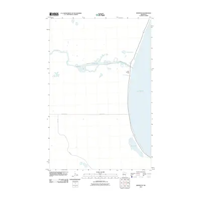
2010 Map of Berner NE
USGS Topo · Published 2010About this map
Lower Red Lake dominates the eastern margin of this landscape, its expansive shoreline meeting the mouth of the Red Lake River. The hydrology of this northern Minnesota region is centered on the Lower Red Lake Dam, where the lake's waters begin their westward journey. The terrain is characterized by a network of specialized access roads and reservation highways, including Res Hwy 31 and Res Hwy 47, which trace the river's meanders. To the south, Sandy Lake sits tucked near the lakefront, while inland corridors like Farm Station Rd and Camp 4 Rd suggest a landscape managed for resource access or agriculture. This 2010 survey provides a clear view of the intersection between significant natural water bodies and the infrastructure required to manage the flow of the Red Lake watershed.
Find a feature on this map
8 named features on this map. Tap any name to fly to it.
Don’t see what you’re looking for? This feature index may not catch every label — zoom into the map to look around manually.
Map Details
Editions of this 2010 Berner NE Map
This is the sole edition of this map. No revisions or reprints were ever made.
Other maps of this area

1918 · Jelle
USGS Topo · 1:62,500

1919 · Churnes
USGS Topo · 1:62,500

1954 · Bemidji
USGS Topo · 1:250,000

1954 · Roseau
USGS Topo · 1:250,000

1957 · Roseau
USGS Topo · 1:250,000

1957 · Bemidji
USGS Topo · 1:250,000

1958 · Bemidji
USGS Topo · 1:250,000

1958 · Roseau
USGS Topo · 1:250,000

1972 · Bagley Lake
USGS Topo · 1:24,000
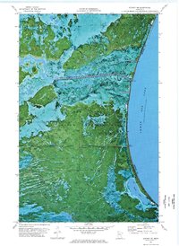
1972 · Berner NE
USGS Topo · 1:24,000