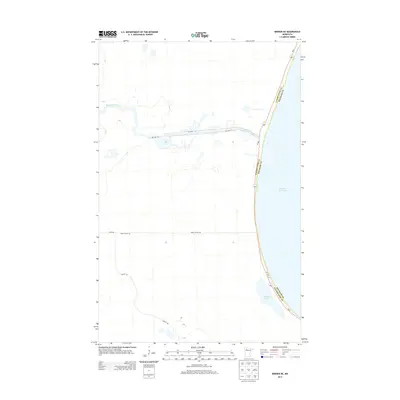
2013 Map of Berner NE
USGS Topo · Published 2013About this map
Lower Red Lake dominates the eastern edge of this northern Minnesota landscape, where the waters meet the winding course of the Red Lake River. The terrain is defined by its hydrology and the tribal road networks of the Red Lake Reservation. Several key thoroughfares, including Res Hwy 47 and Res Hwy 31, traverse the wetlands and low-lying ground west of the lake shore. To the south, Sandy Lake sits near the border of Clearwater and Beltrami counties, providing a clear marker for local land divisions. The grid of service roads, such as Farm Station Rd and Camp 4 Rd, illustrates the intersection of rural infrastructure and the vast natural basins characteristic of this region in the early 2010s.
Find a feature on this map
12 named features on this map. Tap any name to fly to it.
Don’t see what you’re looking for? This feature index may not catch every label — zoom into the map to look around manually.
Map Details
Editions of this 2013 Berner NE Map
This is the sole edition of this map. No revisions or reprints were ever made.
Other maps of this area

1918 · Jelle
USGS Topo · 1:62,500

1919 · Churnes
USGS Topo · 1:62,500

1954 · Bemidji
USGS Topo · 1:250,000

1954 · Roseau
USGS Topo · 1:250,000

1957 · Roseau
USGS Topo · 1:250,000

1957 · Bemidji
USGS Topo · 1:250,000

1958 · Bemidji
USGS Topo · 1:250,000

1958 · Roseau
USGS Topo · 1:250,000

1972 · Bagley Lake
USGS Topo · 1:24,000
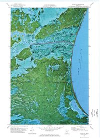
1972 · Berner NE
USGS Topo · 1:24,000